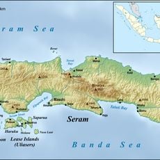
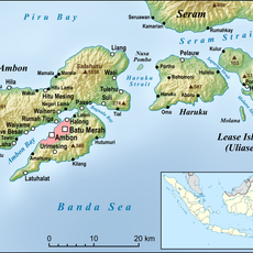
South Sorong, Administrative regency in Southwest Papua, Indonesia
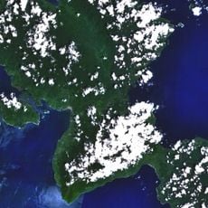
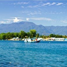
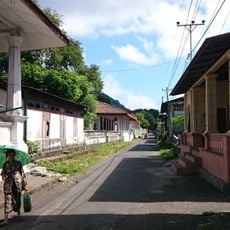
South Sorong is a regency in the Indonesian province of Southwest Papua, made up of forests, coastlines, and scattered settlements. Its administrative capital is Teminabuan, a small inland town that functions as the main urban center of the regency.
South Sorong was established as a separate administrative unit in 2002 after splitting from the former Sorong Regency. This division was part of a wider process of decentralization that unfolded across Indonesia following the end of the Suharto era.
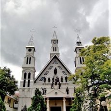
Many village communities in South Sorong actively maintain their languages and traditions in daily life. Visitors who travel into more remote villages can witness local practices, crafts, and oral traditions at close range.
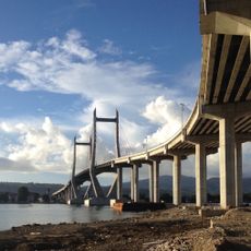
Teminabuan is the best starting point, as it has the most developed infrastructure in the regency. Those planning to reach more distant districts should come well prepared, as roads and tracks can be rough.
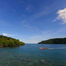
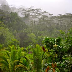
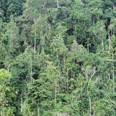
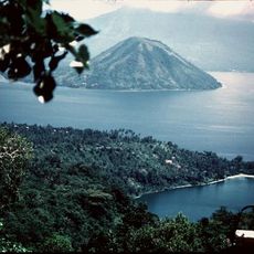
The regency is home to the Kokoda River, which flows through dense lowland forest and remains largely unexplored. Unlike better-known parts of Papua, this area sees very little outside traffic, which keeps much of its natural environment intact.
The community of curious travelers
AroundUs brings together thousands of curated places, local tips, and hidden gems, enriched daily by 60,000 contributors worldwide.