Fiordland National Park, National park in South Island, New Zealand
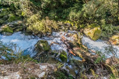
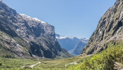
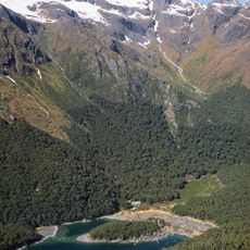
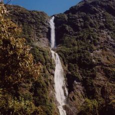
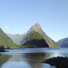
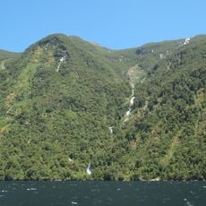
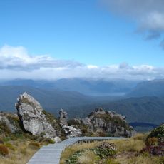
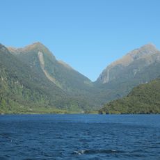
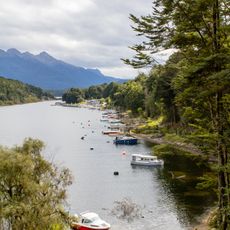
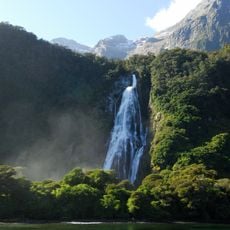
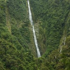
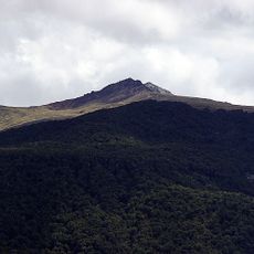
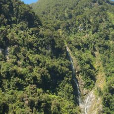
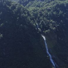
Fiordland National Park is a protected wilderness area in the southwest corner of New Zealand's South Island, covering mountains, valleys, rainforests, and fourteen deep inlets carved by ancient glaciers along the coast. The landscape shows steep rock walls rising from dark water, thick forest with moss-covered trees, and waterfalls that drop hundreds of meters into narrow basins.
The New Zealand government established this protected area in 1952 after earlier attempts to log the forests proved unworkable due to the difficult terrain. Later additions in the 1960s and 1970s brought more coastal sections and valleys under protection, creating a continuous zone of conservation.
The name refers to the deep inlets carved by ice over millions of years, which the Maori called whaea, meaning mother. These waterways remain important to local communities who see them as living landscapes that connect past and present through traditional stories and contemporary conservation work.
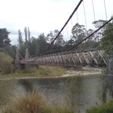
Access is usually through the town of Te Anau on the eastern edge, where roads and marked trails lead into different parts of the area. Weather conditions change quickly, so it helps to bring layers of clothing and waterproof gear, especially for longer walks.
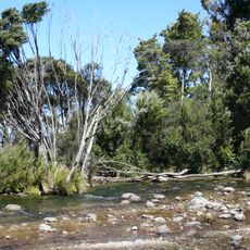
Some of the rainforest trees have been growing for over 800 years, forming a canopy so thick that little light reaches the forest floor. The flightless kakapo parrot, active only at night, survives in protected pockets of the area through intensive management programs.
The community of curious travelers
AroundUs brings together thousands of curated places, local tips, and hidden gems, enriched daily by 60,000 contributors worldwide.