Mackenzie Basin, Drainage basin in Canterbury Region, New Zealand.
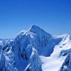
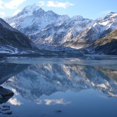
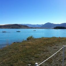
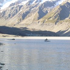
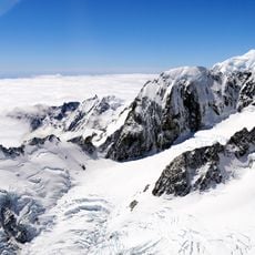
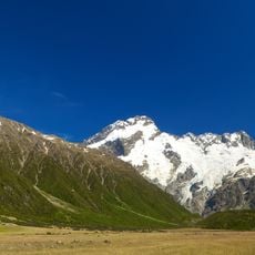
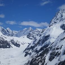
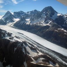
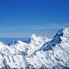
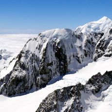
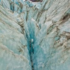
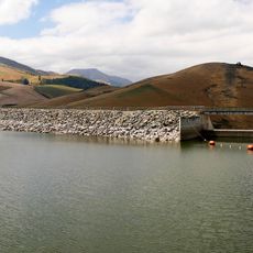
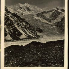
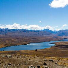
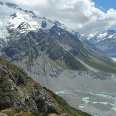
The Mackenzie Basin is a large valley basin in Canterbury Region nestled between the Southern Alps, containing several rivers, wetlands, and four natural lakes such as Pukaki and Tekapo. The area spans considerable terrain and forms a distinctive landscape with characteristic geographical features.
A Scottish shepherd named James McKenzie explored this region in the 1850s while herding sheep through the previously uninhabited territory. This exploration led to the discovery and later settlement of this expansive valley landscape.
The Māori people call this area Te Manahuna, acknowledging it as the largest intermontane basin in New Zealand. The name reflects the deep connection of the indigenous people to this land.
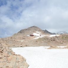
State Highway 8 passes through the area, connecting the northern side via Burkes Pass at about 709 meters elevation with the southern side via Lindis Pass at about 965 meters. These two mountain passes serve as the main access points for visitors exploring the region.
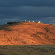
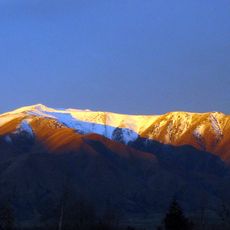
The Aoraki Mackenzie International Dark Sky Reserve was established in 2012 to protect a large area for astronomical observation. This protected area allows visitors to experience particularly clear night skies far from light pollution.
The community of curious travelers
AroundUs brings together thousands of curated places, local tips, and hidden gems, enriched daily by 60,000 contributors worldwide.