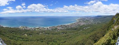
Illawarra escarpment, Mountain range in New South Wales, Australia
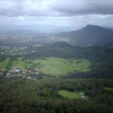
The Illawarra escarpment is a mountain range featuring sandstone cliffs stretching from Stanwell Park to the Shoalhaven River. The formation supports diverse forest ecosystems across the coastal plain and rises to approximately 803 meters at its highest point.
The formation began between 225 and 280 million years ago during early geological periods. It reached its current shape and elevation approximately 30 million years ago following extensive erosion and uplift.
The name comes from the Aboriginal word 'alowrie', meaning a high place beside the sea, connecting this landmark to the heritage of the first people. Local communities have long understood this geography as central to their region's identity.
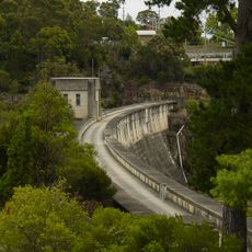
Visitors can access the range through several routes including Bulli Pass, Rixons Pass, and Mount Ousley Road. Multiple designated areas offer opportunities for hiking and nature observation throughout the formation.
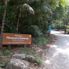
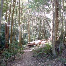
The area supports the endangered Illawarra Subtropical Rainforest ecosystem, home to rare cedar trees and numerous native animal species. This specialized habitat is geographically isolated and represents a key source of local biodiversity.
The community of curious travelers
AroundUs brings together thousands of curated places, local tips, and hidden gems, enriched daily by 60,000 contributors worldwide.