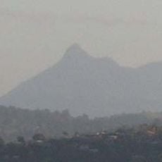
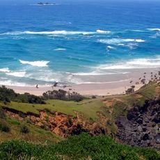
Cape Byron, Easternmost headland in Byron Bay, Australia
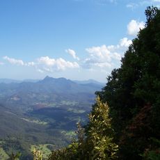
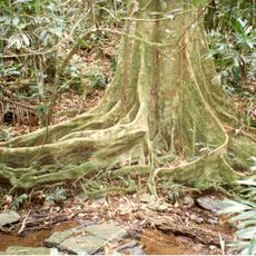
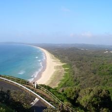
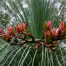
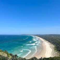
Cape Byron is a rocky headland at the eastern edge of Byron Bay that juts sharply into the Pacific Ocean with steep limestone cliffs. The landscape is covered with native plants and trees adapted to survive the salty, windy coastal conditions.
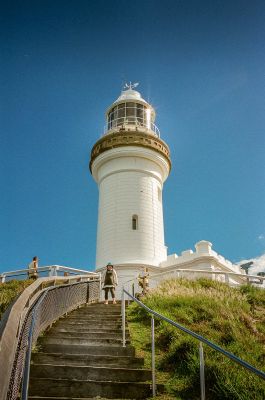
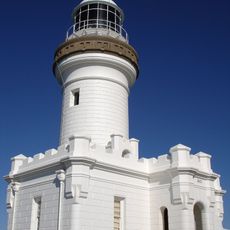
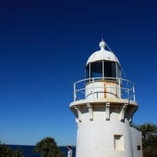
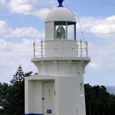
Captain James Cook named this headland in 1770 in honor of explorer John Byron, who had sailed around the world. A lighthouse was built here in 1901 to guide ships safely through the treacherous waters.
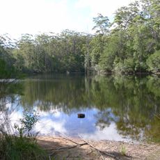
This headland held deep spiritual significance for the Bundjalung people of the Arakwal, who used it for ceremonies and connection to the ocean. The site remains an important place where you can sense the relationship between the land and its first caretakers.
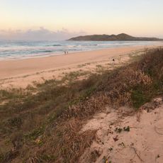
A walking track loops around the headland, connecting several entry points and viewing spots throughout the area. Bring comfortable walking shoes and be prepared for changing weather, as the coastal height and wind can be quite exposed.
The seabed drops steeply offshore, causing sand to shift and disappear into deeper water in a continuous process. This natural movement reveals the constant reshaping happening between land and ocean, even though it appears still from the shore.
The community of curious travelers
AroundUs brings together thousands of curated places, local tips, and hidden gems, enriched daily by 60,000 contributors worldwide.