Coorparoo, Administrative division in eastern Brisbane, Australia.
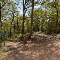
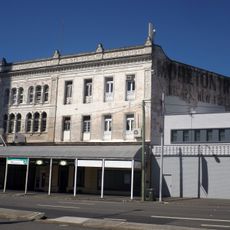
Coorparoo is an administrative division in eastern Brisbane covering approximately 5.4 square kilometers. The area borders Camp Hill, Holland Park, Stones Corner, Greenslopes, East Brisbane, and Norman Park.
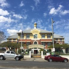
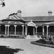
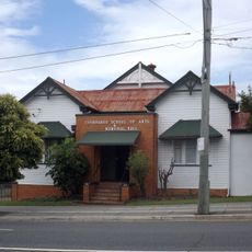
The area began in 1879 as Bulimba Division with roughly 2,000 residents. The western portion became the Shire of Coorparoo in 1888, then joined Brisbane City in 1925.
The name comes from Aboriginal words linked to Norman Creek, where the Coorparoo people held ceremonies and built their settlements.
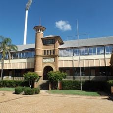
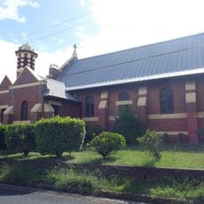
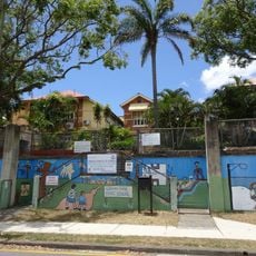
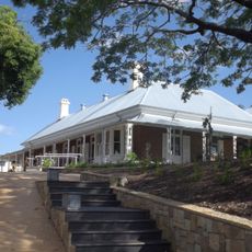
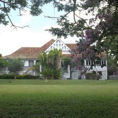
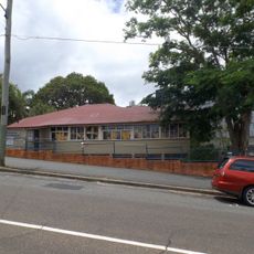
The area has several schools including Coorparoo State School, St James Primary School, Our Lady of Mount Carmel School, and Villanova College. These facilities are spread across the region and serve as helpful landmarks.
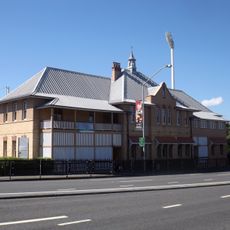
Frederick Thomas Brentnall served as the first chairman of the Coorparoo Shire Council from 1888 to 1889. His leadership marked the start of organized local governance in the area.
The community of curious travelers
AroundUs brings together thousands of curated places, local tips, and hidden gems, enriched daily by 60,000 contributors worldwide.