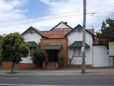
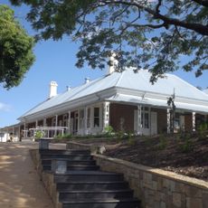
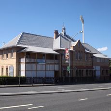
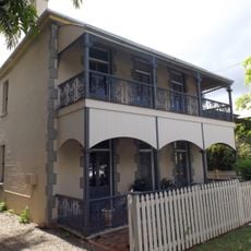
Coorparoo School of Arts and RSL Memorial Hall, Heritage community hall in Coorparoo, Australia.
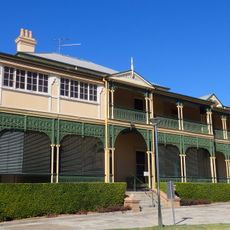
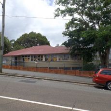
Coorparoo School of Arts and RSL Memorial Hall is a timber building from the 1890s with a corrugated iron roof and symmetrical front elevations on Cavendish Road. Inside, the main hall features a raised stage, kitchen facilities, and separate restrooms designed for hosting events.
The building served as the Coorparoo Shire Council headquarters from 1892 until 1925, when local government changes transformed it into a School of Arts. This shift marked its transition from administrative centre to community and cultural venue.
The hall holds a 1916 memorial board honouring residents who served in World War I, transforming it into a place where the community gathers to remember its past. This commemorative role has shaped how locals view and use the building today.
The easiest way to visit is to head to Cavendish Road and look for the timber building with the corrugated iron roof. Since the venue hosts various community events, it helps to check ahead about current activities or availability through local organizations.
The building was the site of two technological firsts for Coorparoo: the first gas-lit structure and the first telephone installation in the district. These early innovations reveal how forward-thinking the area was in the 1890s.
The community of curious travelers
AroundUs brings together thousands of curated places, local tips, and hidden gems, enriched daily by 60,000 contributors worldwide.