Enable Location

We need your location to show you interesting places around you

Discover nearby places

Find interesting locations and hidden gems around you

Precise directions

Get accurate directions and distances to places

Your location is never shared with other users. It's only used when you tap the location button.

Kuridala Township site

Log in to your account

Start exploring — it's free

Trusted by 62,832 travelers worldwide

Continue with Google
Continue with Apple
or

We will send you a code to connect

By continuing, you accept our Terms and Conditions and our Privacy Policy

Check your inbox

We've sent a pincode in your inbox. Please enter the code below.

Kuridala Township site, former mining town in Queensland, Australia

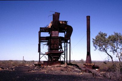
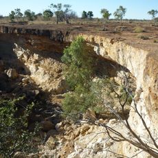
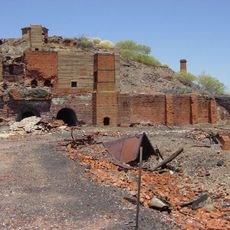
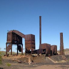
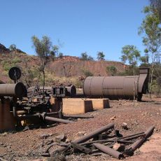
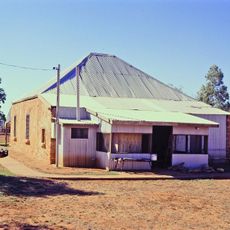
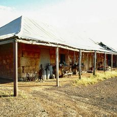
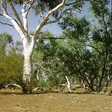
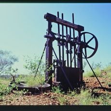
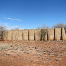
Kuridala Township site is a mining community ruin in Queensland now recognized as a ghost town. The remains include stone walls, mine shafts, and two distinctive tall chimneys from the former Hampden Smelter visible from a distance.

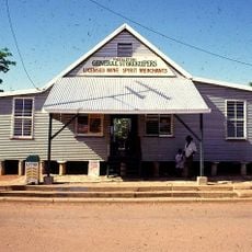
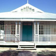
Following copper discovery in 1884, Kuridala grew rapidly into a thriving mining town that peaked at around 2,000 residents. The Hampden Smelter opened in 1911 and played a crucial role producing metals during the First World War, yet after the war declining copper prices led to the facility's closure around 1926.

The name Kuridala comes from an Aboriginal word meaning eagle hawk, though its exact linguistic origin remains unclear. The ruins and two tall chimneys stand as evidence of how mining work once shaped daily life and community bonds.

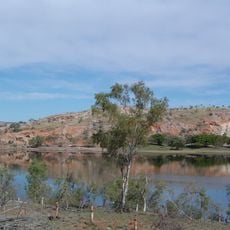
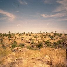
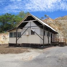
The site is located about 40 miles (65 km) south of Cloncurry and is easy to recognize by its two tall chimneys. Visitors should watch for unmarked open mine shafts and wear appropriate footwear to handle the uneven ground.

The cemetery grounds contain over 360 graves, documenting the town's former population growth and layered history. This quiet resting place tells the story of people who sought new lives, leaving behind a legacy preserved only in these gravestones.

The community of curious travelers

AroundUs brings together thousands of curated places, local tips, and hidden gems, enriched daily by 60,000 contributors worldwide.

Start exploring
Location
GPS coordinates
-21.27970,140.50720
Latest update
February 9, 2026 08:20
« Kuridala Township site - former mining town in Queensland, Australia » is provided by Around Us (aroundus.com). Images and texts are derived from Wikimedia project under a Creative Commons license. You are allowed to copy, distribute, and modify copies of this page, under the conditions set by the license, as long as this note is clearly visible.

Discover hidden gems everywhere you go!

From secret cafés to breathtaking viewpoints, skip the crowded tourist spots and find places that match your style. Our app makes it easy with voice search, smart filtering, route optimization, and insider tips from travelers worldwide. Download now for the complete mobile experience.

Around Us App Screenshot

A unique approach to discovering new places

Le Figaro

All the places worth exploring

France Info

A tailor-made excursion in just a few clicks

20 Minutes

Around Us
Travel Guide & Maps
Download

Send to your phone

QR Code
1

Open the camera app on your mobile.

2

Point at the QR code with your camera. A notification will appear.

3

Tap the notification to open the link.