Louisiade Archipelago, Coral archipelago in Milne Bay Province, Papua New Guinea
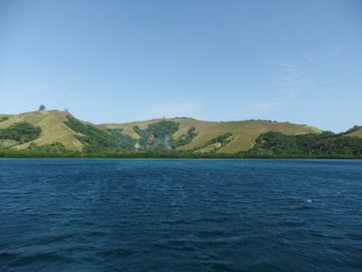
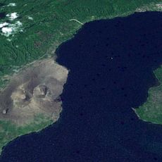
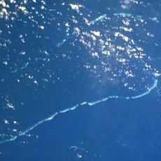
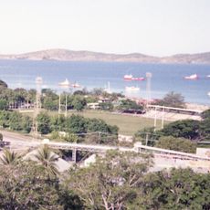
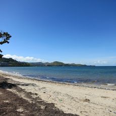
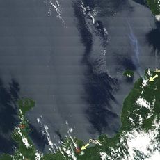
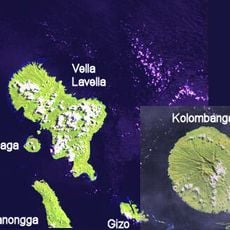
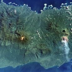
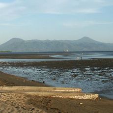
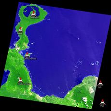
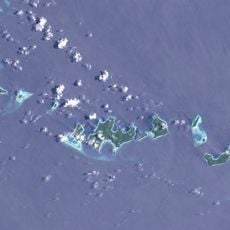
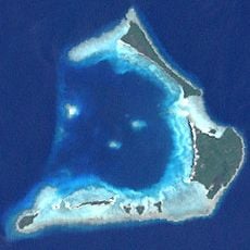
The Louisiade Archipelago is a group of islands stretching across the Coral Sea and Solomon Sea waters off Papua New Guinea, composed of volcanic and coral islands scattered across roughly 160 kilometers. The islands form a complex marine environment where different geological features support diverse coastal habitats.
Spanish navigator Luis Váez de Torres documented these islands in 1606, followed by French explorer Louis Antoine de Bougainville who encountered them later. The French naming after King Louis XV shows how European voyagers mapped and named this region.
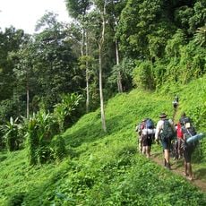
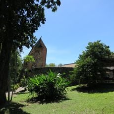
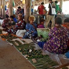
The people living on these islands depend on the ocean for their livelihood and follow fishing traditions passed down through generations. These practices shape daily routines and how communities interact with each other.
Getting between the islands relies on local boat services that run irregularly and depend on weather conditions. Visitors should plan with flexibility and allow extra time, as these services do not follow fixed schedules.
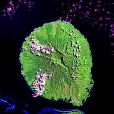
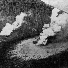
The highest point in the archipelago is Mount Riu on Vanatinai Island, rising over 800 meters above sea level. This peak stands out prominently in an otherwise low-lying island landscape and historically served as a navigation landmark for sailors.
The community of curious travelers
AroundUs brings together thousands of curated places, local tips, and hidden gems, enriched daily by 60,000 contributors worldwide.