Chest opened
+${chestReward.xp} XP
Explorer
NOUVEAU ×${chestReward.collectible.quantity}
tapez pour fermer

See the monuments around you in AR Open chests in the app

Around Us is built for your phone — point your camera at the streets and discover the monuments and places around you in augmented reality. Around Us is built for your phone — chests unlock when you walk, explore and capture nearby places.

•

Enable Location

We need your location to show you interesting places around you

Discover nearby places

Find interesting locations and hidden gems around you

Precise directions

Get accurate directions and distances to places

Your location is never shared with other users. It's only used when you tap the location button.

Laupāhoehoe

Log in to your account

Start exploring — it's free

Trusted by 94,577 travelers worldwide

Continue with Google
Continue with Apple
or

We will send you a code to connect

By continuing, you accept our Terms and Conditions and our Privacy Policy

Check your inbox

We've sent a pincode in your inbox. Please enter the code below.

Laupāhoehoe, Ghost town in Hawaii County, United States

Laupāhoehoe is a ghost town in Hawaii County, United States, on the northeastern coast of the Big Island. The settlement sits on a raised point above the ocean, with a few remaining structures and a memorial marking the site.

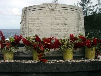
Laupāhoehoe was a small fishing and farming village until a tsunami struck on April 1, 1946, destroying the school and killing many children and teachers. The village was never rebuilt, and the area was left as a memorial and a place of remembrance.

The name Laupāhoehoe refers to the flat lava rock in the area, and the site is still visited by local families who come to remember the children lost in the 1946 tsunami. A small memorial with a bell stands near the water, and people often leave flowers or shells there.

The site is reached by a short road off the main coastal highway, with parking near the memorial. Visitors should wear sturdy shoes and be prepared for uneven ground and exposure to sun and wind.

A bell from the destroyed school was recovered and now hangs at the memorial, and visitors can ring it in memory of the victims. The site also offers a clear view of the coastline where the tsunami waves came ashore.

The community of curious travelers

AroundUs brings together thousands of curated places, local tips, and hidden gems, enriched daily by 94,577 contributors worldwide.

Start exploring
Location
GPS coordinates
19.98472,-155.23611
Latest update
November 10, 2026 13:51
Around this place
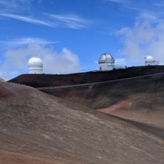
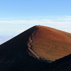
Mauna Kea
United States of America

Mauna Kea

18.9 mi
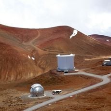
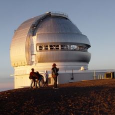
Mauna Kea Observatories
United States of America

Mauna Kea Observatories

19.2 mi
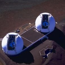
W. M. Keck Observatory
United States of America

W. M. Keck Observatory

19 mi
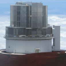
Subaru Telescope
United States of America

Subaru Telescope

19.1 mi
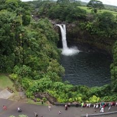
Rainbow Falls
United States of America

Rainbow Falls

20 mi
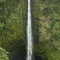
Akaka Falls State Park
United States of America

Akaka Falls State Park

10.5 mi
James Clerk Maxwell Telescope
United States of America

James Clerk Maxwell Telescope

19.3 mi
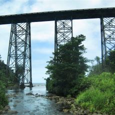
Hakalau Stream Bridge
United States of America

Hakalau Stream Bridge

9.1 mi
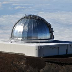
NASA Infrared Telescope Facility
United States of America

NASA Infrared Telescope Facility

18.9 mi
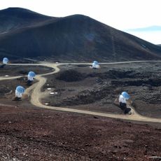
Submillimeter Array
United States of America

Submillimeter Array

19.3 mi
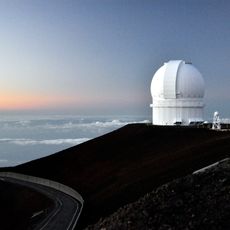
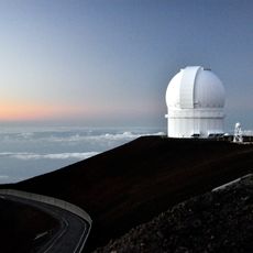
Canada–France–Hawaii Telescope
United States of America

Canada–France–Hawaii Telescope

18.7 mi
Hawaii Tropical Botanical Garden
United States of America

Hawaii Tropical Botanical Garden

15.3 mi
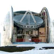
Caltech Submillimeter Observatory
United States of America

Caltech Submillimeter Observatory

19.2 mi
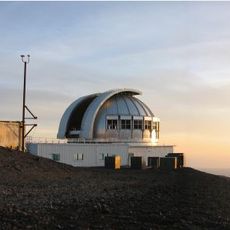
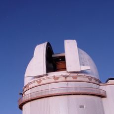
United Kingdom Infrared Telescope
United States of America

United Kingdom Infrared Telescope

18.9 mi
Mauna Kea Trail
United States of America

Mauna Kea Trail

20 mi
Mauna Kea Ice Age Reserve
United States of America

Mauna Kea Ice Age Reserve

19.8 mi
World Botanical Gardens
United States of America

World Botanical Gardens

8.6 mi
Kolekole Beach Park
United States of America

Kolekole Beach Park

10.3 mi
UH88
United States of America

UH88

18.9 mi
W. H. Shipman House
United States of America

W. H. Shipman House

20.1 mi
Federal Building, United States Post Office and Courthouse
United States of America

Federal Building, United States Post Office and Courthouse

20.3 mi
Hilo Masonic Lodge Hall-Bishop Trust Building
United States of America

Hilo Masonic Lodge Hall-Bishop Trust Building

20.3 mi
SPIRou
Canada

SPIRou

18.8 mi
Gemini North
United States of America

Gemini North

18.8 mi
A.J. Williamson House
United States of America

A.J. Williamson House

19.5 mi
Mokupāpapa Discovery Center
United States of America

Mokupāpapa Discovery Center

20.3 mi
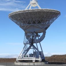
Mauna Kea VLBA station
United States of America

Mauna Kea VLBA station

19.1 mi
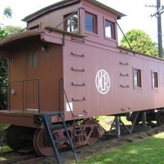
Laupahoehoe Train Museum
United States of America

Laupahoehoe Train Museum

0.1 mi
Show the full map
Reviews
Share your experience

No review yet

Discussions
Start a discussion...

No discussion yet

« Laupāhoehoe - Ghost town in Hawaii County, United States » is provided by Around Us (aroundus.com). Images and texts are derived from Wikimedia project under a Creative Commons license. You are allowed to copy, distribute, and modify copies of this page, under the conditions set by the license, as long as this note is clearly visible.

Discover hidden gems everywhere you go!

From secret cafés to breathtaking viewpoints, skip the crowded tourist spots and find places that match your style. Our app makes it easy with voice search, smart filtering, route optimization, and insider tips from travelers worldwide. Download now for the complete mobile experience.

Around Us App Screenshot
❝

A unique approach to discovering new places❞

— Le Figaro

❝

All the places worth exploring❞

— France Info

❝

A tailor-made excursion in just a few clicks❞

— 20 Minutes

Around Us
Travel Guide & Maps
Download

Send to your phone

QR Code
1

Open the camera app on your mobile.

2

Point at the QR code with your camera. A notification will appear.

3

Tap the notification to open the link.