Mauna Loa, Shield volcano in Hawaii County, United States
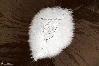
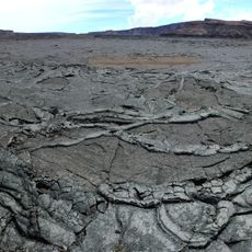
Mauna Loa stretches across 5,100 square kilometers and rises 4,169 meters (13,678 feet) above sea level, forming half of Hawaii Island's total landmass. The volcano's gently sloping sides run through multiple climate zones, from tropical rainforests to barren alpine deserts near the summit.
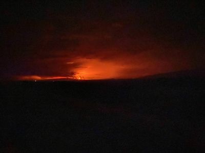
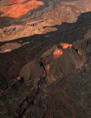
The volcano has produced 34 documented eruptions since 1843, with the most recent in 2022 after a 38-year quiet period. Earlier eruptions threatened nearby settlements multiple times with lava flows that moved slowly downhill over weeks.
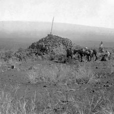
Hawaiian families consider the volcano the home of Pele, the goddess who rules fire and molten rock. During eruptions, some locals leave small offerings near lava flows to honor their connection to the land.
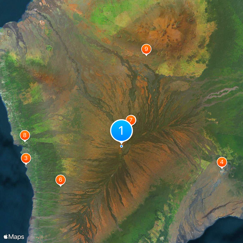
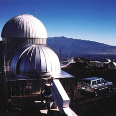
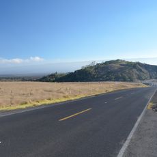
Visitors can reach the summit area through the Mauna Loa Observatory Road, which requires a four-wheel-drive vehicle and preparation for high altitude conditions. The air becomes thin above 3,000 meters (10,000 feet), so travelers should ascend slowly and watch for headaches or dizziness.
The weight of this massive structure causes the Pacific Ocean floor to bend downward several kilometers beneath its base. Measured from the seafloor to the summit, the mountain's true height exceeds Mount Everest.
Location: Hawaii County
Elevation above the sea: 4,169.4 m
Made from material: basalt
Website: https://nps.gov/havo/planyourvisit/hike_maunaloa.htm
GPS coordinates: 19.47553,-155.60570
Latest update: December 15, 2025 00:43
This collection brings together active volcanoes located on multiple continents, from Cotopaxi in the Ecuadorian Andes to Mount Fuji in Japan, including Vesuvius in Italy and Mauna Loa in Hawaii. Each site demonstrates different geological processes: stratovolcanoes like Mount Saint Helens and Etna...
Mauna Loa Observatory
7.4 km
AMiBA
7.5 km
Hakalau Forest National Wildlife Refuge
24.3 km
Mauna Loa Solar Observatory
7.4 km
Pu'u Huluhulu
27.7 km
ʻĀinapō Trail
3.4 kmBobcat Trail Habitation Cave
20.3 km
Ahu A Umi Heiau
25.9 km
Mokuʻāweoweo Caldera
1.5 kmRéserve forestière d'État de Kapapala
16.8 kmMauna Loa Road
27 kmRéserve forestière d'État de Kaʻū
28.2 kmRéserve forestière d'État de Mauna Loa
13.8 km
Mauna Loa Lookout
23.2 km
Wilkes Campsite
2.7 km
Royal Kona Museum & Coffee Mill
28.9 kmMauna Loa and Kilauea Volcanoes
19.3 kmATLAS-MLO Auxiliary Camera
7.4 kmATLAS-MLO observatory
7.4 kmKaʻōiki Pali
27.4 kmFootprints Area
28.4 kmKona Potters Guild
29.1 kmMural, Work of art
31.1 kmScenic viewpoint
2.7 kmScenic viewpoint
535 mScenic viewpoint
3.6 kmScenic viewpoint
23.5 kmScenic viewpoint
49 mVisited this place? Tap the stars to rate it and share your experience / photos with the community! Try now! You can cancel it anytime.
Discover hidden gems everywhere you go!
From secret cafés to breathtaking viewpoints, skip the crowded tourist spots and find places that match your style. Our app makes it easy with voice search, smart filtering, route optimization, and insider tips from travelers worldwide. Download now for the complete mobile experience.
A unique approach to discovering new places❞
— Le Figaro
All the places worth exploring❞
— France Info
A tailor-made excursion in just a few clicks❞
— 20 Minutes