Enable Location

We need your location to show you interesting places around you

Discover nearby places

Find interesting locations and hidden gems around you

Precise directions

Get accurate directions and distances to places

Your location is never shared with other users. It's only used when you tap the location button.

ʻĀinapō Trail

Log in to your account

Start exploring — it's free

Trusted by 62,558 travelers worldwide

Continue with Google
Continue with Apple
or

We will send you a code to connect

By continuing, you accept our Terms and Conditions and our Privacy Policy

Check your inbox

We've sent a pincode in your inbox. Please enter the code below.

ʻĀinapō Trail, Historic hiking trail on Mauna Loa, Hawaii, United States

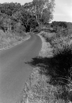
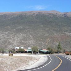
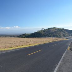
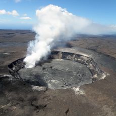
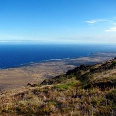
The ʻĀinapō Trail is a mountain path that extends roughly 35 miles from Kapapala to Mokuaweoweo crater, climbing through distinct climate and vegetation zones as elevation increases. The route passes through forests, shrublands, and sparse terrain before reaching the barren volcanic landscape at the summit.

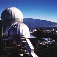
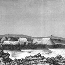
The route was first explored in 1794 by an expedition led by Archibald Menzies, who used barometric instruments to measure the mountain's elevation. This early scientific investigation helped establish the summit as an important location for further geographic and meteorological study.

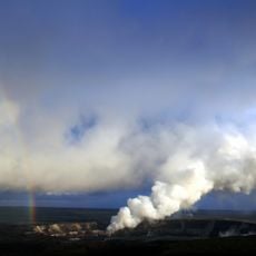
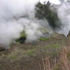
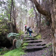
The name ʻāina pō means 'darkened land' in Hawaiian, referencing the thick cloud cover that blankets the middle elevation sections. This name reflects what hikers experience as they move through the misty and moisture-laden portions of the ascent.

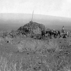
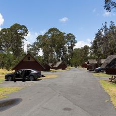
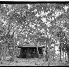
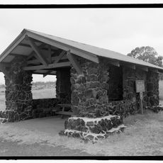
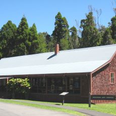
Hikers can stay overnight at camps with shelters positioned along the route to acclimatize to increasing elevation. Stone cairns mark less obvious sections, and visitors should arrive with solid physical conditioning and appropriate gear for changing weather conditions.

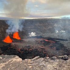
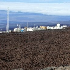
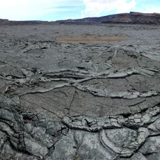
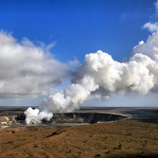
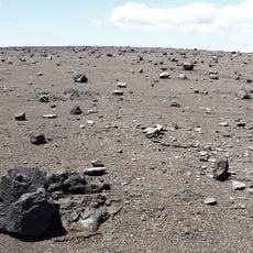
A section of roughly 11 miles above 11,650 feet has remained unchanged since prehistoric times, displaying a stark lava landscape that sits above the cloud layer. This high terrain offers a rare view of the mountain's geological and climatic extremes.

The community of curious travelers

AroundUs brings together thousands of curated places, local tips, and hidden gems, enriched daily by 60,000 contributors worldwide.

Start exploring
Location
GPS coordinates
19.46083,-155.57750
Latest update
December 14, 2025 14:40
Around this place
Show the full map
« ʻĀinapō Trail - Historic hiking trail on Mauna Loa, Hawaii, United States » is provided by Around Us (aroundus.com). Images and texts are derived from Wikimedia project under a Creative Commons license. You are allowed to copy, distribute, and modify copies of this page, under the conditions set by the license, as long as this note is clearly visible.

Discover hidden gems everywhere you go!

From secret cafés to breathtaking viewpoints, skip the crowded tourist spots and find places that match your style. Our app makes it easy with voice search, smart filtering, route optimization, and insider tips from travelers worldwide. Download now for the complete mobile experience.

Around Us App Screenshot

A unique approach to discovering new places

Le Figaro

All the places worth exploring

France Info

A tailor-made excursion in just a few clicks

20 Minutes

Around Us
Travel Guide & Maps
Download

Send to your phone

QR Code
1

Open the camera app on your mobile.

2

Point at the QR code with your camera. A notification will appear.

3

Tap the notification to open the link.