Enable Location

We need your location to show you interesting places around you

Discover nearby places

Find interesting locations and hidden gems around you

Precise directions

Get accurate directions and distances to places

Your location is never shared with other users. It's only used when you tap the location button.

Pu'u Huluhulu

Log in to your account

Start exploring — it's free

Trusted by 61,400 travelers worldwide

Continue with Google
Continue with Apple
or

We will send you a code to connect

By continuing, you accept our Terms and Conditions and our Privacy Policy

Check your inbox

We've sent a pincode in your inbox. Please enter the code below.

Pu'u Huluhulu

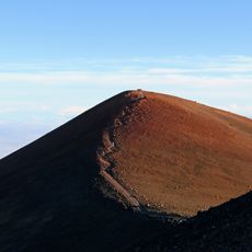
Pu'u Huluhulu, Volcanic cone in Hamakua District, Hawaii, US.

Description

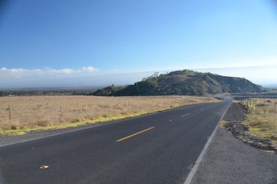
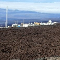
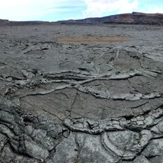
Puʻu Huluhulu is a cinder cone about 150 feet tall located between the access roads to Mauna Kea and Mauna Loa, covered with native Hawaiian plants. Lava flows surround the cone, showing the volcanic processes that shaped the landscape.

History

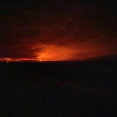
The cone formed through volcanic activity that took place over thousands of years while shaping the Island of Hawaii. Its presence demonstrates how volcanic forces fundamentally created the region.

Culture

The name Puʻu Huluhulu comes from Hawaiian and means hairy hill, referring to the thick native plants covering the cone. Walking here, you can see why locals chose this name when you look at how heavily vegetation covers the slopes.

Practical

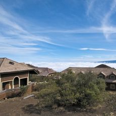
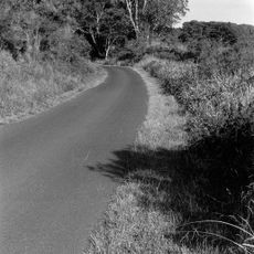
The trail is about 0.5 miles round trip, starting near mile marker 28 on Highway 200, making it easy to find and reach. The elevation of about 5000 feet means you should take your time and wear clothing suitable for mountain weather conditions.

Did you know?

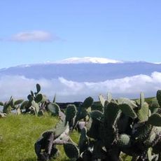
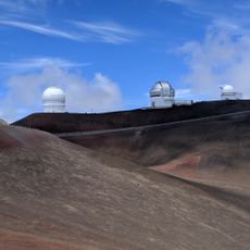
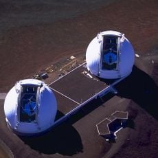
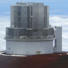
On clear days, you can see both Mauna Kea and Mauna Loa volcanoes from the summit, showing how this small cone fits into a landscape shaped by powerful volcanic forces. The summit also protects native Koa trees, which are increasingly rare because most Hawaiian mountainsides have been changed by other uses.

Location
GPS coordinates
19.68750,-155.46694
Latest update
December 14, 2025 13:08

AroundUs brings together thousands of curated places, local tips, and hidden gems, enriched daily by 60,000 contributors worldwide. Discover all places nearby (Hamakua).

Around this place
Show the full map
« Pu'u Huluhulu - Volcanic cone in Hamakua District, Hawaii, US » is provided by Around Us (aroundus.com). Images and texts are derived from Wikimedia project under a Creative Commons license. You are allowed to copy, distribute, and modify copies of this page, under the conditions set by the license, as long as this note is clearly visible.

Discover hidden gems everywhere you go!

From secret cafés to breathtaking viewpoints, skip the crowded tourist spots and find places that match your style. Our app makes it easy with voice search, smart filtering, route optimization, and insider tips from travelers worldwide. Download now for the complete mobile experience.

Around Us App Screenshot

A unique approach to discovering new places

Le Figaro

All the places worth exploring

France Info

A tailor-made excursion in just a few clicks

20 Minutes

Around Us
Travel Guide & Maps
Download

Send to your phone

QR Code
1

Open the camera app on your mobile.

2

Point at the QR code with your camera. A notification will appear.

3

Tap the notification to open the link.