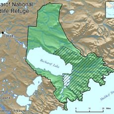
Katmai Wilderness, Protected wilderness territory in Alaska, United States
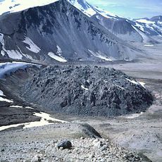
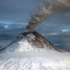
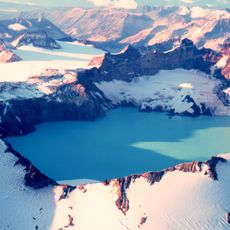
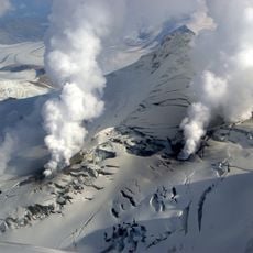
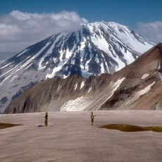
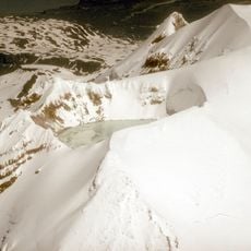
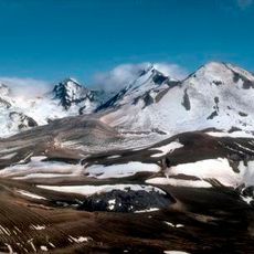
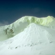
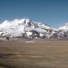
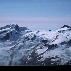
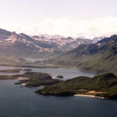
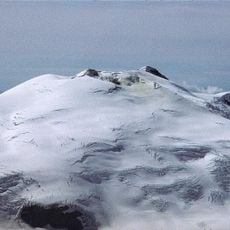
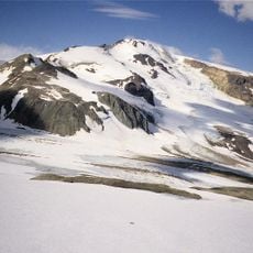
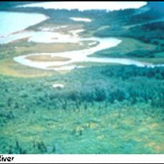
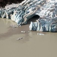
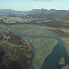
Katmai Wilderness is a vast protected area in Alaska stretching from Bristol Bay toward the Aleutian Range with steep mountain ridges and many volcanic peaks. The landscape contains lakes, rivers, and coastal areas that create a complex terrain of dense vegetation, rocky highlands, and water passages.
The area became officially protected in 1980 as part of federal conservation legislation that secured vast wilderness lands across Alaska. This designation reflected a major shift in how the state and nation approached the preservation of remote territories.
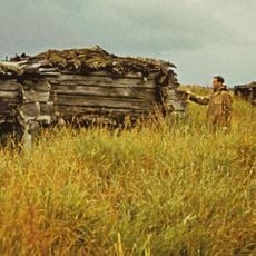
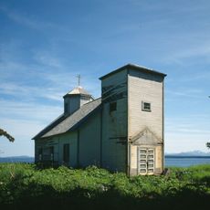
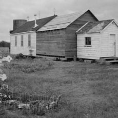
The Alutiit and Sugpiat people have called this place home for thousands of years, and their traditional structures and spiritual sites remain visible throughout the region. Walking through the area, you encounter the physical marks of how these communities have lived and sustained themselves here.
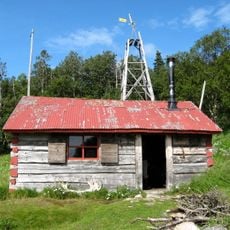
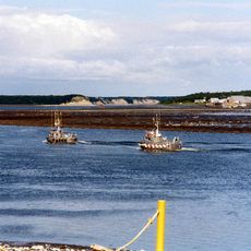
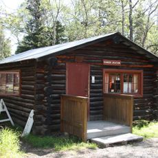
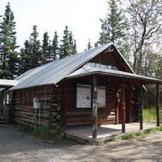
Getting here requires traveling by floatplane or boat from distant starting points, which means planning ahead and allowing time for travel. Once in the area, facilities and lodging are scattered, so knowing your route and accommodations before arrival is important.
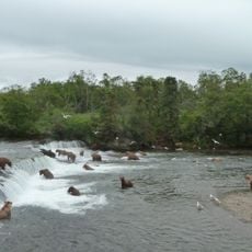
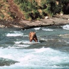
Each summer, hundreds of brown bears gather at Brooks River to catch salmon during the spawning season, creating one of the region's most intense wildlife gatherings. This annual congregation brings predators together at a single location to feed on the river's seasonal abundance.
The community of curious travelers
AroundUs brings together thousands of curated places, local tips, and hidden gems, enriched daily by 60,000 contributors worldwide.