Colima, Pacific coastal state in western Mexico
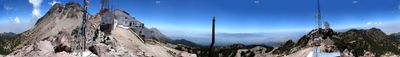
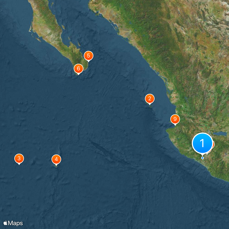
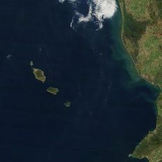
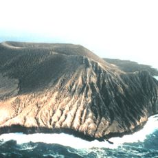
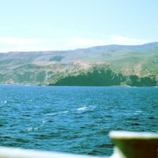
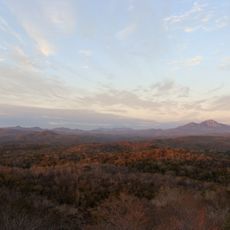
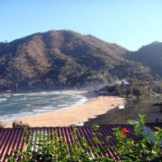
Colima is a state on the Pacific coast of western Mexico that stretches from harbor towns and sandy beaches at sea level up to forested slopes and volcanic peaks. The small state borders Jalisco and Michoacán and includes several islands in the ocean offshore, while the landscape shifts between tropical palm groves and cooler mountain zones.
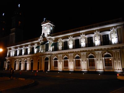
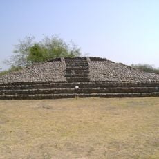
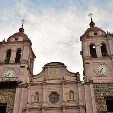
Spanish forces conquered the region in 1523 and founded a settlement that quickly grew into an important harbor point in Pacific trade. During the 19th century, the territory became an independent state within the new Mexican republic after the country gained independence from Spain.
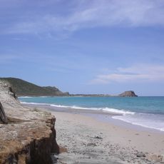
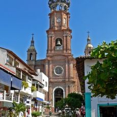
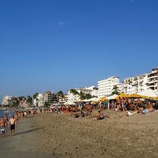
The coastal region takes its name from the pre-Hispanic kingdom of Colliman that once ruled this area. Today, residents along the beaches and in the mountains make their living through fishing, tourism, and growing coconuts and tropical fruits, while harbor cities blend international shipping routes with local tradition.
Two airports connect the region to the rest of Mexico and to some international destinations, with the coastal city of Manzanillo and the capital each having their own terminals. Roads climb from the sea into the mountains, with temperatures dropping noticeably as altitude rises and travelers needing different clothing depending on the zone.
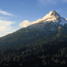
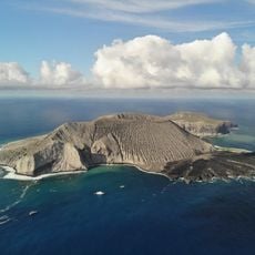
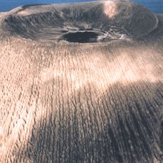
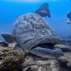
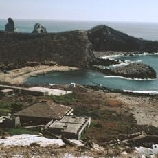
One of the two volcanoes in the region ranks among the most active in North America and frequently shows visible plumes of smoke above the forested slopes. The remote islands offshore form a protected zone for migrating humpback whales and several species of seabirds that nest and rest here.
The community of curious travelers
AroundUs brings together thousands of curated places, local tips, and hidden gems, enriched daily by 60,000 contributors worldwide.