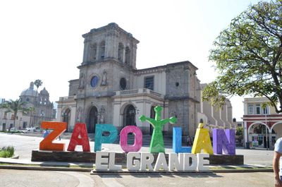
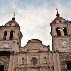
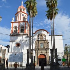
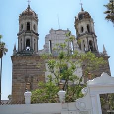
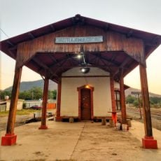
Zapotlán El Grande Municipality, Municipal administrative region in Jalisco, Mexico
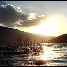
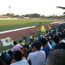
Zapotlán El Grande is an administrative region in southern Jalisco that covers both urban areas and farming land spread across rolling terrain. The municipality sits at about 1,500 meters in elevation where rural zones meet growing towns.
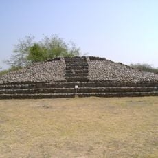
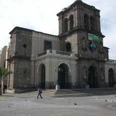
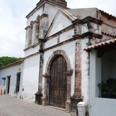
The region was once a pre-Hispanic kingdom that came under Spanish control in 1526. The current name honors a 19th-century political leader who championed federal reforms.
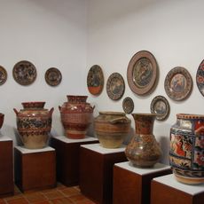
The municipality takes its name from a Nahuatl word referring to a pre-Hispanic settlement in the region. Today, artisan workshops throughout the area continue making pottery and woven goods using traditional methods passed down through generations.
The best time to visit is during the dry season from November to April when weather is pleasant and roads are easy to navigate. Travelers should know that rural areas can become difficult to reach during the rainy season from May to October.
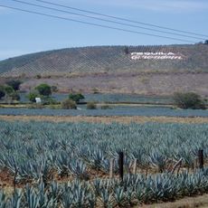
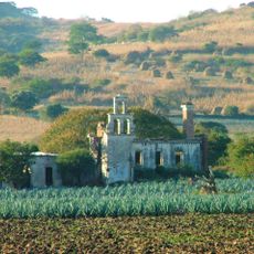
The local farming focuses on specialized crops like figs, pineapples, and avocados that are shipped to markets around the world. These products have become so central to the region's economy that they have shaped how the area is known beyond its borders.
GPS coordinates: 19.69735,-103.51065
Latest update: December 7, 2025 19:26
La Primavera Biosphere Reserve
104.6 km
Nevado de Colima National Park
26 km
La Campana
52.9 km
Lake Cajititlan, Jalisco
83.2 km
Agave Landscape and Ancient Industrial Facilities of Tequila
107.1 km
Arcos del Milenio
107.9 km
Estadio Olímpico Universitario de Colima
54.1 km
St. Joseph Cathedral, Ciudad Guzmán
5 km
Plaza de toros Alberto Balderas
89.6 km
Cathedral Basilica of Our Lady of Guadalupe
55.5 km
Guadalajara México Temple
107.7 km
Museo Regional de la Ceramica, Tlaquepaque
106.8 km
Holy Trinity Cathedral, Autlán
89.8 km
Trióvalo Bernardo Obregón
87.1 km
Estadio Colima
57 km
Hacienda San José de Miravalle
92.9 km
Museo Universitario de Artes Populares María Teresa Pomar
54.7 km
Museo Regional de Historia de Colima
55.5 km
Parroquia de San Pedro Apóstol
107 km
Santuario de Nuestra Señora de la Soledad
106.9 km
Centro Cultural González Gallo
74.6 km
Chapala
75 km
Museo Comunitario de la Sal
105.1 km
Las Delicias
81.6 km
Antigua Estación de Ferrocarril Tlajomulco
85.9 km
Dr. Jorge Villalobos Padilla, SJ library
101.6 km
Capilla de Nuestra Señora del Refugio de Nogueras
48.1 km
Teatro Hidalgo
55.5 kmVisited this place? Tap the stars to rate it and share your experience / photos with the community! Try now! You can cancel it anytime.
Discover hidden gems everywhere you go!
From secret cafés to breathtaking viewpoints, skip the crowded tourist spots and find places that match your style. Our app makes it easy with voice search, smart filtering, route optimization, and insider tips from travelers worldwide. Download now for the complete mobile experience.
A unique approach to discovering new places❞
— Le Figaro
All the places worth exploring❞
— France Info
A tailor-made excursion in just a few clicks❞
— 20 Minutes