Chest opened
+${chestReward.xp} XP
Explorer
NOUVEAU ×${chestReward.collectible.quantity}
tapez pour fermer
Chest locked

Open chests in the app

Around Us is built for your phone — chests unlock when you walk, explore and capture nearby places.

Enable Location

We need your location to show you interesting places around you

Discover nearby places

Find interesting locations and hidden gems around you

Precise directions

Get accurate directions and distances to places

Your location is never shared with other users. It's only used when you tap the location button.

Tlajomulco de Zuñiga

Log in to your account

Start exploring — it's free

Trusted by 72,880 travelers worldwide

Continue with Google
Continue with Apple
or

We will send you a code to connect

By continuing, you accept our Terms and Conditions and our Privacy Policy

Check your inbox

We've sent a pincode in your inbox. Please enter the code below.

Tlajomulco de Zuñiga
Discussion Reviews 1 Photos
50.6k Popularity

Tlajomulco de Zuñiga, Metropolitan municipality in Guadalajara region, Mexico

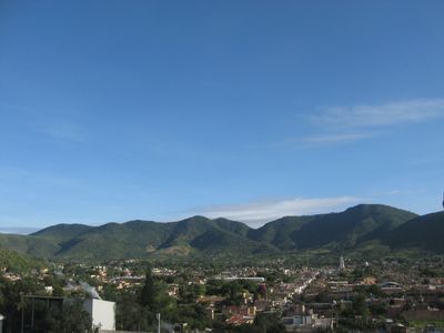
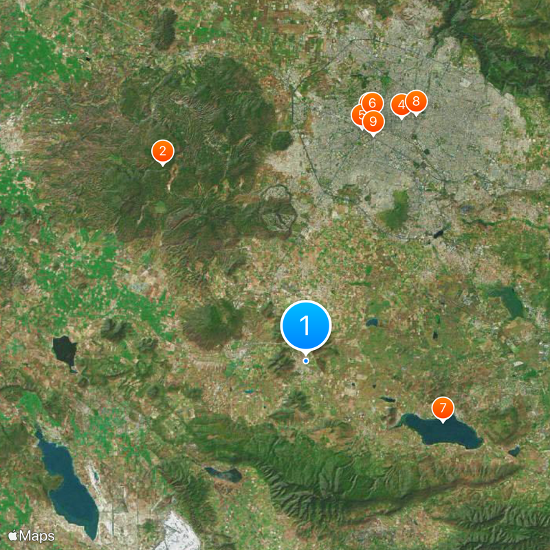
Tlajomulco de Zúñiga is a municipality southeast of Guadalajara in the state of Jalisco, covering approximately 636 square kilometers at an elevation of 1,764 meters. The area includes several major settlements, including Hacienda Santa Fe, and features a mix of urban and rural spaces.

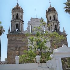
Spanish conquest under Nuño de Guzmán reached this region in 1530, bringing it under colonial control. This moment marked a turning point when the indigenous population came under new authority.

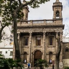
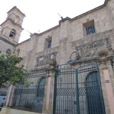
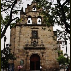
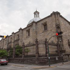
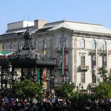
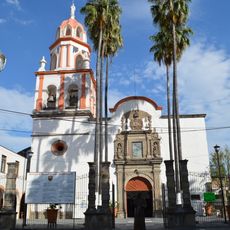
The name comes from Nahuatl words meaning "land in the corner," reflecting the indigenous roots of the area. This heritage remains visible in local traditions and the way the community connects to its past.

The area offers good connectivity and is known for its international airport, which serves as the main transportation link for the region. Visitors should note that the municipality consists of several scattered settlements, so it helps to plan ahead which areas to explore.

Guadalajara International Airport operates within the municipal boundaries, making this location a central hub for all regional air traffic. This gives the area particular importance as a gateway for travelers from around the world.

The community of curious travelers

AroundUs brings together thousands of curated places, local tips, and hidden gems, enriched daily by 60,000 contributors worldwide.

Start exploring
Elevation above the sea
1,764 m
GPS coordinates
20.47361,-103.44306
Latest update
December 14, 2025 18:34
Reviews
Share your experience

No review yet

Discussions
Start a discussion...

No discussion yet

« Tlajomulco de Zuñiga - Metropolitan municipality in Guadalajara region, Mexico » is provided by Around Us (aroundus.com). Images and texts are derived from Wikimedia project under a Creative Commons license. You are allowed to copy, distribute, and modify copies of this page, under the conditions set by the license, as long as this note is clearly visible.

Discover hidden gems everywhere you go!

From secret cafés to breathtaking viewpoints, skip the crowded tourist spots and find places that match your style. Our app makes it easy with voice search, smart filtering, route optimization, and insider tips from travelers worldwide. Download now for the complete mobile experience.

Around Us App Screenshot

A unique approach to discovering new places

Le Figaro

All the places worth exploring

France Info

A tailor-made excursion in just a few clicks

20 Minutes

Around Us
Travel Guide & Maps
Download

Send to your phone

QR Code
1

Open the camera app on your mobile.

2

Point at the QR code with your camera. A notification will appear.

3

Tap the notification to open the link.