Backbone Trail, National Recreation Trail in Santa Monica Mountains, US
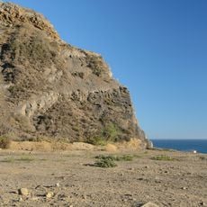
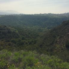
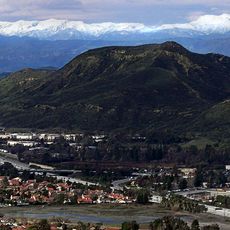
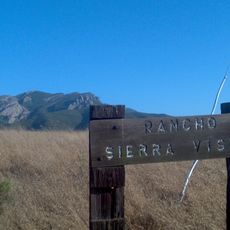
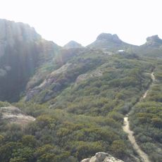
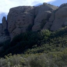
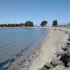
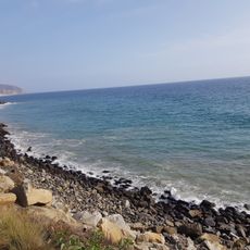
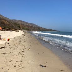
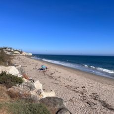
Backbone Trail is a long-distance route that stretches through the Santa Monica Mountains, connecting two major state parks in California. The path traverses varying elevations and landscape types that accommodate different activities including hiking, mountain biking, and horseback riding.
The route began as separate park lands in the 1970s that were later connected to form one continuous trail system. Official recognition as a National Recreation Trail came after years of planning and coordination among multiple organizations.
The trail serves as a popular outdoor destination where hikers, cyclists, and riders regularly spend time exploring the landscape together. People use this route to escape their daily routines and connect with the natural environment across the mountains.
The path has multiple entry points and starting locations that allow visitors to choose different sections based on their fitness level or available time. Much of the trail opens to mountain bikers, while hikers have full access everywhere, so visitors should check which sections work best for their planned activity.
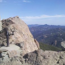
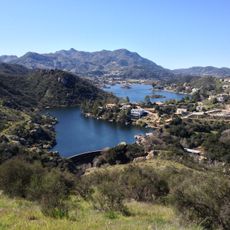
The highest point reaches about 3,000 feet (914 m) elevation and offers views across the landscape surrounding Los Angeles. On clear days, visitors can see across vast distances from this position and understand the scale of the mountain range.
The community of curious travelers
AroundUs brings together thousands of curated places, local tips, and hidden gems, enriched daily by 60,000 contributors worldwide.