Conejo Grade

Log in to your account

AroundUs is a community-driven map of interesting places, built by curious explorers like you. It grows with every review, story, and photo you share.
Connect to save your favorite spots, contribute locations, and create personalized routes.
By continuing, you accept our Terms and Conditions and our Privacy Policy
Add to collection
Map
Suggest a change
Share

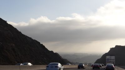
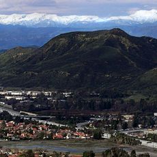
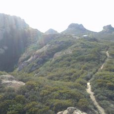
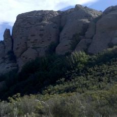
Conejo Grade, Mountain pass on Highway 101 in Ventura County, US

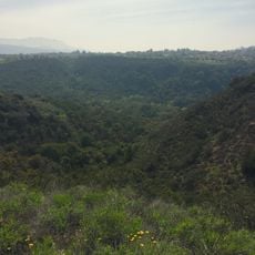
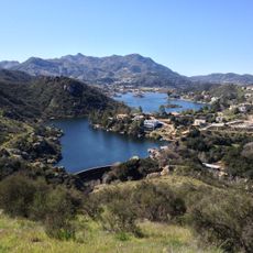
Conejo Grade is a mountain pass along Interstate 101 in Ventura County that spans several kilometers with a steep grade. It connects the Conejo Valley with Camarillo and serves as a major route through Southern California's coastal region.

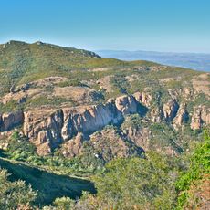
The original road was built between 1914 and 1915 and followed a winding path over the pass. A major project in the 1930s simplified the route considerably, making travel safer and faster for drivers.

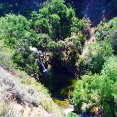
The Chumash people traveled through these valleys for centuries, moving goods and people between inland communities and coastal settlements. You can still see how the terrain shapes the routes that connect different parts of the region.

Driving over the pass can become slippery in bad weather, so drive carefully and watch for traffic updates. Inspection stations at both ends monitor vehicles and ensure drivers are maintaining safe conditions.

The pass was originally so winding that drivers had to move slowly through all the curves. A massive redesign in the mid-20th century greatly reduced the number of tight turns and made the passage much more direct.

GPS coordinates: 34.20030,-118.95900

Latest update: December 10, 2025 16:23

Photos
Around this place
Ronald Reagan Presidential Library
United States of America

Ronald Reagan Presidential Library

14.4 km
747 Wing House
United States of America

747 Wing House

12 km
Sherwood Country Club
United States of America

Sherwood Country Club

10.2 km
Jungleland USA
United States of America

Jungleland USA

10.6 km
Wildwood Regional Park
United States of America

Wildwood Regional Park

5.8 km
Point Mugu State Park
United States of America

Point Mugu State Park

11.9 km
Arroyo Conejo Open Space
United States of America

Arroyo Conejo Open Space

3.2 km
Backbone Trail
United States of America

Backbone Trail

9.2 km
Camarillo Ranch House
United States of America

Camarillo Ranch House

5.7 km
Thousand Oaks Civic Arts Plaza
United States of America

Thousand Oaks Civic Arts Plaza

10.6 km
Case Study House No. 28
United States of America

Case Study House No. 28

8 km
Boney Peak
United States of America

Boney Peak

9.5 km
Joel McCrea Ranch
United States of America

Joel McCrea Ranch

10.9 km
Gardens of the World
United States of America

Gardens of the World

10.5 km
Conejo Mountain
United States of America

Conejo Mountain

2.7 km
Grant R. Brimhall Library
United States of America

Grant R. Brimhall Library

10.3 km
Sherwood Dam
United States of America

Sherwood Dam

11.6 km
Conejo Valley Botanical Garden
United States of America

Conejo Valley Botanical Garden

6.8 km
Rancho Sierra Vista
United States of America

Rancho Sierra Vista

5.2 km
Blessed Junipero Serra Catholic Church, Camarillo
United States of America

Blessed Junipero Serra Catholic Church, Camarillo

5.9 km
Banning Dam
United States of America

Banning Dam

12.2 km
Big Sycamore Canyon
United States of America

Big Sycamore Canyon

10.1 km
Timber School
United States of America

Timber School

4 km
Pederson House and Water Tower
United States of America

Pederson House and Water Tower

7.8 km
Hollywood Storage Center of Thousand Oaks
United States of America

Hollywood Storage Center of Thousand Oaks

1.4 km
Tri Peaks
United States of America

Tri Peaks

8.7 km
Exchange Peak
United States of America

Exchange Peak

9.6 km
Camarillo Public Library
United States of America

Camarillo Public Library

7 km
Show the full map
Reviews

Visited this place? Tap the stars to rate it and share your experience / photos with the community! Try now! You can cancel it anytime.

« Conejo Grade - Mountain pass on Highway 101 in Ventura County, US » is provided by Around Us (aroundus.com). Images and texts are derived from Wikimedia project under a Creative Commons license. You are allowed to copy, distribute, and modify copies of this page, under the conditions set by the license, as long as this note is clearly visible.

Discover hidden gems everywhere you go!

From secret cafés to breathtaking viewpoints, skip the crowded tourist spots and find places that match your style. Our app makes it easy with voice search, smart filtering, route optimization, and insider tips from travelers worldwide. Download now for the complete mobile experience.

Around Us App Screenshot

A unique approach to discovering new places

Le Figaro

All the places worth exploring

France Info

A tailor-made excursion in just a few clicks

20 Minutes