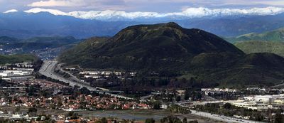
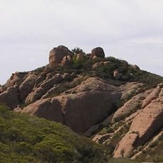
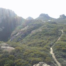
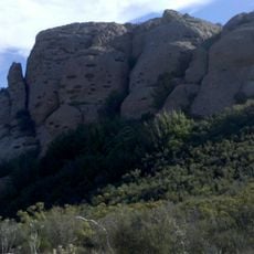
Conejo Mountain, Mountain summit in Ventura County, United States
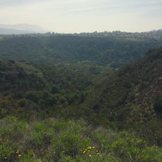
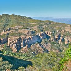
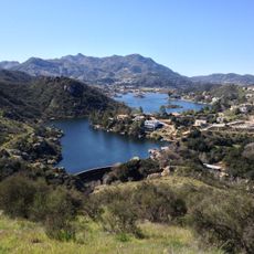
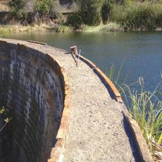
Conejo Mountain is a peak in Ventura County with an elevation of about 553 meters (1,813 feet) and marks the boundary between the eastern and western parts of the county. The surrounding area includes open spaces with several trails connecting to nearby parks for visitor access.
This mountain formed through volcanic activity about 14 million years ago and was initially submerged beneath sea level before rising to its current height. This geological history reflects broader changes in California's coastal landscape over time.
The Chumash people used trade routes around Conejo Mountain that later became paths for farmers transporting goods to the Hueneme wharf. Walking these trails today connects you to this history linking inland communities with coastal access.
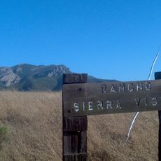
You can reach this mountain through several trails accessible from Pepper Tree Playfield and Dos Vientos Community Park. Plan time for different fitness levels since the trails offer varying difficulty levels.
Rock mining has occurred here since 1959 while conservation groups work to protect remaining natural spaces. This tension between resource extraction and land preservation continues to shape how the mountain is used today.
The community of curious travelers
AroundUs brings together thousands of curated places, local tips, and hidden gems, enriched daily by 60,000 contributors worldwide.