California State Route 60, East-west state highway in Los Angeles County, United States
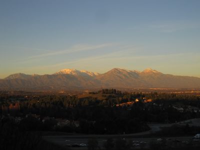
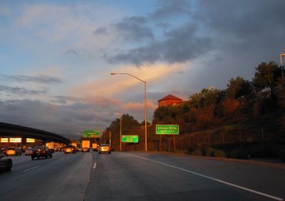
California State Route 60 is an east-west state highway that extends approximately 76 miles (122 kilometers) connecting the Los Angeles Basin with the Pomona Valley. It passes through several urban areas and provides numerous on and off ramps to major intersections and surrounding communities.
The route gained its designation in 1964 from the former US Route 60 when Interstate 10 became the main east-west corridor. Since then it developed as an alternative thoroughfare handling substantial traffic flows and serving regional commerce.
The route links several communities in the San Gabriel Valley and serves as a daily connector for residents moving between neighborhoods. It shapes how people experience travel in this part of the region.
The route provides multiple access points to Interstate 5, Interstate 710 and State Route 57 for different travel directions. Travelers should expect heavier traffic during peak hours, particularly in sections passing through several urban areas.
The route operates as an important detour alternative to Interstate 10 and handles substantial amounts of commercial traffic between Los Angeles ports and inland distribution centers. Many drivers use it strategically to avoid heavier congestion on the Interstate.
The community of curious travelers
AroundUs brings together thousands of curated places, local tips, and hidden gems, enriched daily by 60,000 contributors worldwide.