Chest opened
+${chestReward.xp} XP
Explorer
NOUVEAU ×${chestReward.collectible.quantity}
tapez pour fermer
Chest locked

Open chests in the app

Around Us is built for your phone — chests unlock when you walk, explore and capture nearby places.

Enable Location

We need your location to show you interesting places around you

Discover nearby places

Find interesting locations and hidden gems around you

Precise directions

Get accurate directions and distances to places

Your location is never shared with other users. It's only used when you tap the location button.

Log in to your account

Start exploring — it's free

Trusted by 72,889 travelers worldwide

Continue with Google
Continue with Apple
or

We will send you a code to connect

By continuing, you accept our Terms and Conditions and our Privacy Policy

Check your inbox

We've sent a pincode in your inbox. Please enter the code below.

Discussion Reviews Photo
600+ Popularity

Mount Washington, Residential neighborhood in Northeast Los Angeles, US.

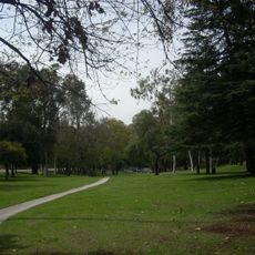
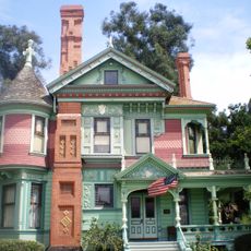
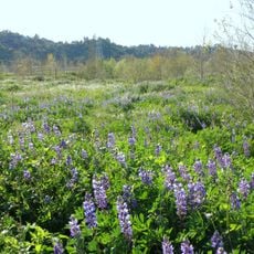
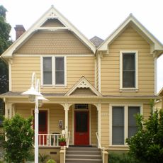
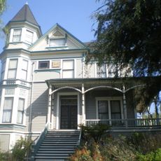
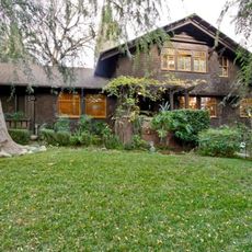
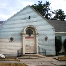
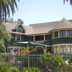
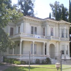
Mount Washington is a residential neighborhood in the hills of Northeast Los Angeles featuring winding streets and diverse architectural styles. The homes and gardens are scattered across hilly terrain, giving the area its distinctive character.

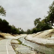
The neighborhood was established in 1909 by Robert Marsh, who built a hotel at the summit and constructed a funicular railway. The railway operated until 1919, after which its closure shaped how the area developed over time.

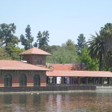
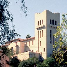
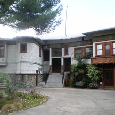
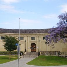
The neighborhood is home to two established institutions that shape spiritual and cultural life: the Self-Realization Fellowship headquarters and the Southwest Museum. Both sites draw visitors interested in meditation practices and regional heritage.

The neighborhood features steep streets that require good footwear and patience, especially during hot weather. Multiple bus lines connect the area to downtown and surrounding neighborhoods.

Eldred Street ranks among the steepest streets in the United States and belongs to a rare group of roads with extreme inclines. Visitors walking here quickly discover that normal movement becomes a genuine physical challenge.

The community of curious travelers

AroundUs brings together thousands of curated places, local tips, and hidden gems, enriched daily by 60,000 contributors worldwide.

Start exploring
Location
Shares border with
Silver Lake
GPS coordinates
34.10056,-118.21611
Latest update
December 14, 2025 20:27
Around this place
Chavez Ravine
United States of America

Chavez Ravine

3.5 km
Dodger Dog
United States of America

Dodger Dog

3.8 km
Arroyo Seco Parkway
United States of America

Arroyo Seco Parkway

1.6 km
Los Angeles State Historic Park
United States of America

Los Angeles State Historic Park

3.8 km
Heritage Square Museum
United States of America

Heritage Square Museum

1.6 km
Lummis House
United States of America

Lummis House

1.2 km
Lincoln Park
United States of America

Lincoln Park

4 km
Chicken Boy
United States of America

Chicken Boy

2.2 km
Hale House
United States of America

Hale House

1.6 km
Southwest Museum of the American Indian
United States of America

Southwest Museum of the American Indian

950 m
Highland Park Police Station
United States of America

Highland Park Police Station

3.4 km
Rio de Los Angeles State Park
United States of America

Rio de Los Angeles State Park

1.8 km
Judson Studios
United States of America

Judson Studios

3.7 km
Pisgah Home Historic District
United States of America

Pisgah Home Historic District

2.9 km
Ernest E. Debs Regional Park
United States of America

Ernest E. Debs Regional Park

2.1 km
Smith Estate
United States of America

Smith Estate

2.7 km
Woman's Building
United States of America

Woman's Building

3.5 km
Neutra Office Building
United States of America

Neutra Office Building

4 km
Highland Park Masonic Temple
United States of America

Highland Park Masonic Temple

2.2 km
Arroyo Seco bicycle path
United States of America

Arroyo Seco bicycle path

2.4 km
Santa Fe Arroyo Seco Railroad Bridge
United States of America

Santa Fe Arroyo Seco Railroad Bridge

3.2 km
Glassell Park Elementary School
United States of America

Glassell Park Elementary School

1.9 km
Ernest and Florence Bent Halstead House and Grounds
United States of America

Ernest and Florence Bent Halstead House and Grounds

757 m
Richard Henry Dana Branch
United States of America

Richard Henry Dana Branch

1.2 km
Ziegler Estate
United States of America

Ziegler Estate

1.1 km
Lincoln Heights Branch
United States of America

Lincoln Heights Branch

2.7 km
Mount Pleasant House
United States of America

Mount Pleasant House

1.6 km
Reservoir Dogs - Pat and Lorraine's Coffee Shop
United States of America

Reservoir Dogs - Pat and Lorraine's Coffee Shop

3.3 km
Show the full map
Reviews
Share your experience

No review yet

Discussions
Start a discussion...

No discussion yet

« Mount Washington - Residential neighborhood in Northeast Los Angeles, US » is provided by Around Us (aroundus.com). Images and texts are derived from Wikimedia project under a Creative Commons license. You are allowed to copy, distribute, and modify copies of this page, under the conditions set by the license, as long as this note is clearly visible.

Discover hidden gems everywhere you go!

From secret cafés to breathtaking viewpoints, skip the crowded tourist spots and find places that match your style. Our app makes it easy with voice search, smart filtering, route optimization, and insider tips from travelers worldwide. Download now for the complete mobile experience.

Around Us App Screenshot

A unique approach to discovering new places

Le Figaro

All the places worth exploring

France Info

A tailor-made excursion in just a few clicks

20 Minutes

Around Us
Travel Guide & Maps
Download

Send to your phone

QR Code
1

Open the camera app on your mobile.

2

Point at the QR code with your camera. A notification will appear.

3

Tap the notification to open the link.