Santa Ana Mountains, Mountain range in Southern California, United States
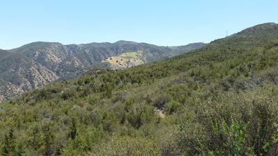
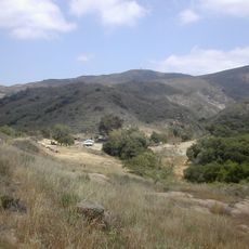
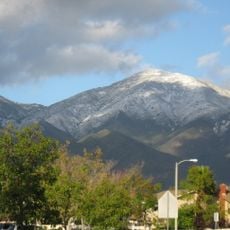
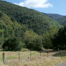
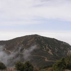
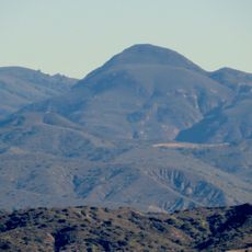
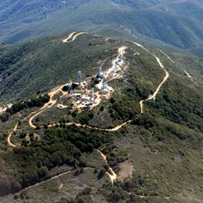
The Santa Ana Mountains form a ridge between Orange and Riverside counties with Santiago Peak as its highest point at 5,689 feet (1,735 meters). The terrain includes diverse habitats managed today by Cleveland National Forest, which maintains multiple trails of varying difficulty through the range.
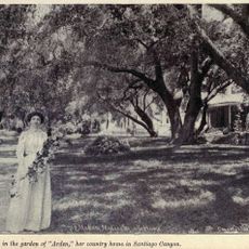
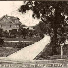
Spanish explorer Gaspar de Portolá first documented these mountains in 1769, noting the indigenous communities living in the canyons and valleys. The range later became part of the broader development of Southern California and eventually protected as forest land.
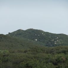
The range was home to Tongva and Acjachemen peoples for centuries, whose presence remains visible through archaeological remains scattered across the peaks. You can see traces of their settlements and rock art, particularly in Black Star Canyon, showing how communities adapted to this terrain.
Trails are accessible year-round with varying difficulty levels, so you can choose based on your fitness level. Bring plenty of water and sun protection, as exposed sections offer little shade and weather can change quickly at higher elevations.
A California grizzly bear was recorded here in 1908, representing one of the last of its kind in the state before extinction in the region. This encounter marks a turning point when large predators disappeared from Southern California wilderness.
The community of curious travelers
AroundUs brings together thousands of curated places, local tips, and hidden gems, enriched daily by 60,000 contributors worldwide.