Chest opened
+${chestReward.xp} XP
Explorer
NOUVEAU ×${chestReward.collectible.quantity}
tapez pour fermer
Chest locked

Open chests in the app

Around Us is built for your phone — chests unlock when you walk, explore and capture nearby places.

Enable Location

We need your location to show you interesting places around you

Discover nearby places

Find interesting locations and hidden gems around you

Precise directions

Get accurate directions and distances to places

Your location is never shared with other users. It's only used when you tap the location button.

Log in to your account

Start exploring — it's free

Trusted by 72,982 travelers worldwide

Continue with Google
Continue with Apple
or

We will send you a code to connect

By continuing, you accept our Terms and Conditions and our Privacy Policy

Check your inbox

We've sent a pincode in your inbox. Please enter the code below.

Verrado
Discussion Reviews Photo
10.4k Popularity

Verrado, Master-planned neighborhood in Phoenix, US

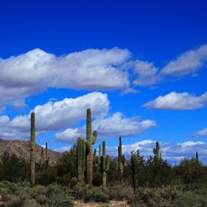
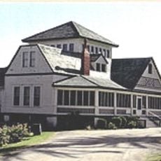
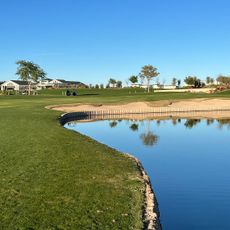
Verrado is a master-planned residential neighborhood at the base of the White Tank Mountains in Phoenix, spread across a large area. Tree-lined streets run through the district, designed to prioritize walking and community spaces over car-focused development.

The neighborhood began taking shape in 2002 and first residents moved in during 2004 as part of Phoenix's metropolitan expansion. This development reflected the city's growth into surrounding areas during that period.

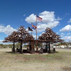
The neighborhood houses over 86 community parks where residents gather for regular celebrations, strengthening social bonds through shared activities.

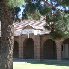
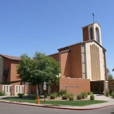
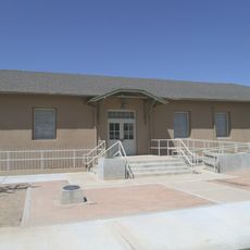
Schools, parks, and shopping areas are conveniently positioned throughout the neighborhood to serve daily needs. The street layout is straightforward, making it easy to navigate and find your way around different sections.

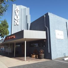
The Main Street commercial district hides garage access behind buildings through rear alley systems instead of disrupting the storefront views. This deliberate design choice keeps vehicle traffic out of sight while people walk along the street.

The community of curious travelers

AroundUs brings together thousands of curated places, local tips, and hidden gems, enriched daily by 60,000 contributors worldwide.

Start exploring
Location
GPS coordinates
33.48670,-112.51040
Latest update
March 5, 2026 21:06
Around this place
State Farm Stadium
United States of America

State Farm Stadium

23.5 km
Phoenix Raceway
United States of America

Phoenix Raceway

22.3 km
Desert Sky Pavilion
United States of America

Desert Sky Pavilion

25.8 km
Castles N' Coasters
United States of America

Castles N' Coasters

37.5 km
White Tank Mountains
United States of America

White Tank Mountains

11.8 km
Wildlife World Zoo
United States of America

Wildlife World Zoo

11.4 km
White Tank Mountain Regional Park
United States of America

White Tank Mountain Regional Park

12.7 km
Gillespie Dam Highway Bridge
United States of America

Gillespie Dam Highway Bridge

37.6 km
Manistee Ranch
United States of America

Manistee Ranch

32.4 km
Desert Storm
United States of America

Desert Storm

37.5 km
Sahuaro Ranch
United States of America

Sahuaro Ranch

31.3 km
Cartwright Elementary School District
United States of America

Cartwright Elementary School District

30.2 km
Cathedral of Saints Simon and Jude
United States of America

Cathedral of Saints Simon and Jude

36.9 km
Sun Bowl Amphitheatre
United States of America

Sun Bowl Amphitheatre

22.8 km
Hassayampa Bridge
United States of America

Hassayampa Bridge

24.9 km
Glendale Veterans War Memorial
United States of America

Glendale Veterans War Memorial

31.7 km
First Methodist Episcopal Church of Glendale
United States of America

First Methodist Episcopal Church of Glendale

30.8 km
Phoenix Show Palace
United States of America

Phoenix Show Palace

34.2 km
Sachs-Webster House
United States of America

Sachs-Webster House

29.6 km
Urban Air Trampoline and Adventure Park
United States of America

Urban Air Trampoline and Adventure Park

11.6 km
Laveen School Auditorium
United States of America

Laveen School Auditorium

34.7 km
Wigwam Resort
United States of America

Wigwam Resort

14.9 km
Floralcroft Historic District
United States of America

Floralcroft Historic District

30.6 km
Sterling Grove Golf Course
United States of America

Sterling Grove Golf Course

13.2 km
Mattel Adventure Park
United States of America

Mattel Adventure Park

22.9 km
Peoria Theatre
United States of America

Peoria Theatre

27.3 km
Avon Theatre
United States of America

Avon Theatre

16 km
Glendale Main Library
United States of America

Glendale Main Library

31.6 km
Show the full map
Reviews
Share your experience

No review yet

Discussions
Start a discussion...

No discussion yet

« Verrado - Master-planned neighborhood in Phoenix, US » is provided by Around Us (aroundus.com). Images and texts are derived from Wikimedia project under a Creative Commons license. You are allowed to copy, distribute, and modify copies of this page, under the conditions set by the license, as long as this note is clearly visible.

Discover hidden gems everywhere you go!

From secret cafés to breathtaking viewpoints, skip the crowded tourist spots and find places that match your style. Our app makes it easy with voice search, smart filtering, route optimization, and insider tips from travelers worldwide. Download now for the complete mobile experience.

Around Us App Screenshot

A unique approach to discovering new places

Le Figaro

All the places worth exploring

France Info

A tailor-made excursion in just a few clicks

20 Minutes

Around Us
Travel Guide & Maps
Download

Send to your phone

QR Code
1

Open the camera app on your mobile.

2

Point at the QR code with your camera. A notification will appear.

3

Tap the notification to open the link.