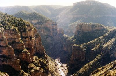
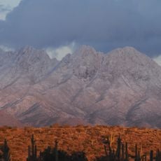
Salt River, River system in Gila County, Arizona.
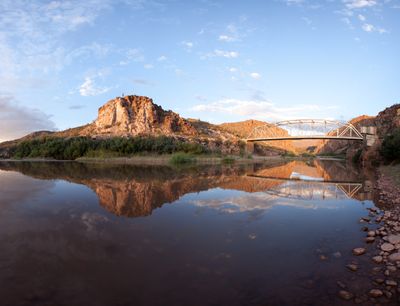
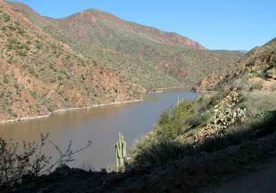
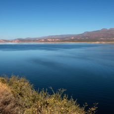
The Salt River is a river system that flows from central Arizona's mountainous regions down to where it joins the Gila River in Maricopa County. Several dams along its course create reservoirs that serve both recreation and water supply for the surrounding communities.
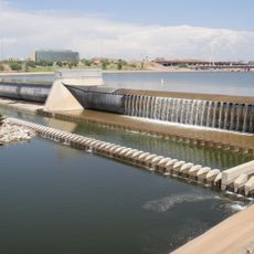
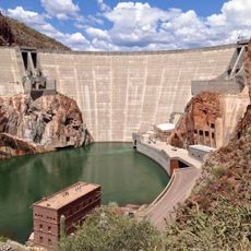
The Theodore Roosevelt Dam, completed in 1911, was the first major dam project in Arizona and transformed water control across the region. This project enabled large-scale irrigation and provided reliable water for growing towns and farmland.
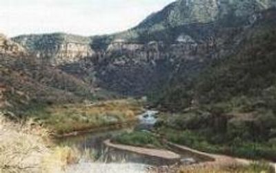
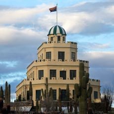
Native American communities, particularly the Pima and Tohono O'odham, shaped the landscape here through irrigation networks that supported settlements for centuries. Walking along the banks, you can still sense how water management has been central to life in this region.
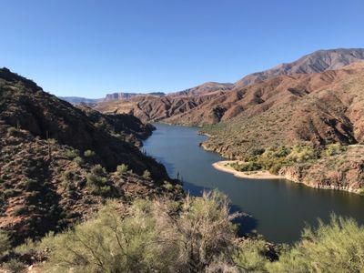
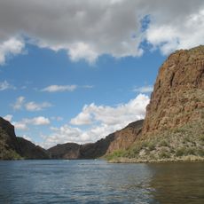
Public recreation areas offer rafting, fishing, camping, and hiking opportunities, with spring and fall providing the most comfortable conditions. Check ahead for activity availability, as water levels and seasonal conditions affect access to different sections.
Multiple dams create a chain of reservoirs that forms one of Arizona's important hydroelectric systems, a feature many visitors overlook when focusing on the natural river itself. This blend of human engineering and the natural waterway tells a story of how the desert's water was harnessed.
The community of curious travelers
AroundUs brings together thousands of curated places, local tips, and hidden gems, enriched daily by 60,000 contributors worldwide.