Chest opened
+${chestReward.xp} XP
Explorer
NOUVEAU ×${chestReward.collectible.quantity}
tapez pour fermer
Chest locked

Open chests in the app

Around Us is built for your phone — chests unlock when you walk, explore and capture nearby places.

Enable Location

We need your location to show you interesting places around you

Discover nearby places

Find interesting locations and hidden gems around you

Precise directions

Get accurate directions and distances to places

Your location is never shared with other users. It's only used when you tap the location button.

Lajitas

Log in to your account

Start exploring — it's free

Trusted by 72,886 travelers worldwide

Continue with Google
Continue with Apple
or

We will send you a code to connect

By continuing, you accept our Terms and Conditions and our Privacy Policy

Check your inbox

We've sent a pincode in your inbox. Please enter the code below.

Discussion Reviews 1 Photos
22.6k Popularity

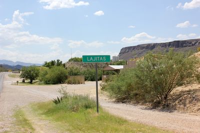
Lajitas, unincorporated community in Brewster County, Texas, United States

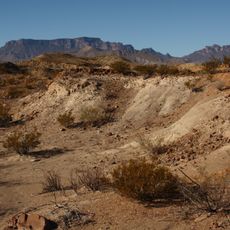
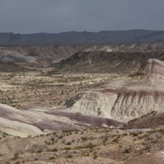
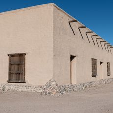
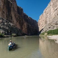
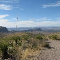
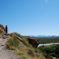
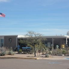
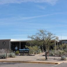
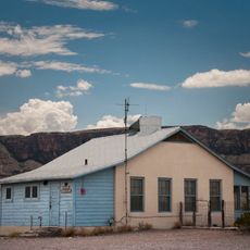
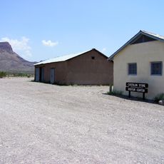
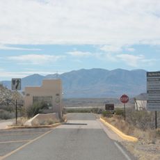
Lajitas is an unincorporated community in far west Texas, situated on the banks of the Rio Grande along the border with Mexico. The settlement consists of a handful of buildings, a small resort area, and a few services spread across open desert terrain.

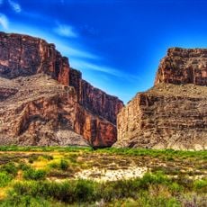
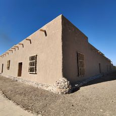
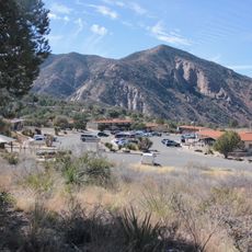
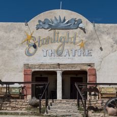
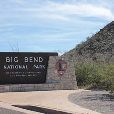
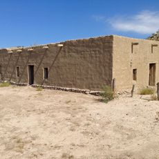
In the early 20th century, Lajitas served as a small crossing point and supply stop along the Rio Grande, used by travelers and traders moving between Texas and Mexico. Over time, the settlement grew into a modest resort destination drawing visitors to the surrounding Big Bend area.

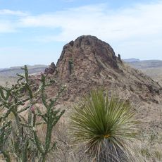
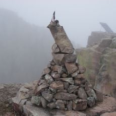
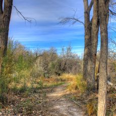
The name Lajitas comes from Spanish and refers to the flat stones found along the riverbank. Walking through the settlement today, visitors notice how the surroundings shape daily life, with the river and the desert defining the pace and feel of the place.

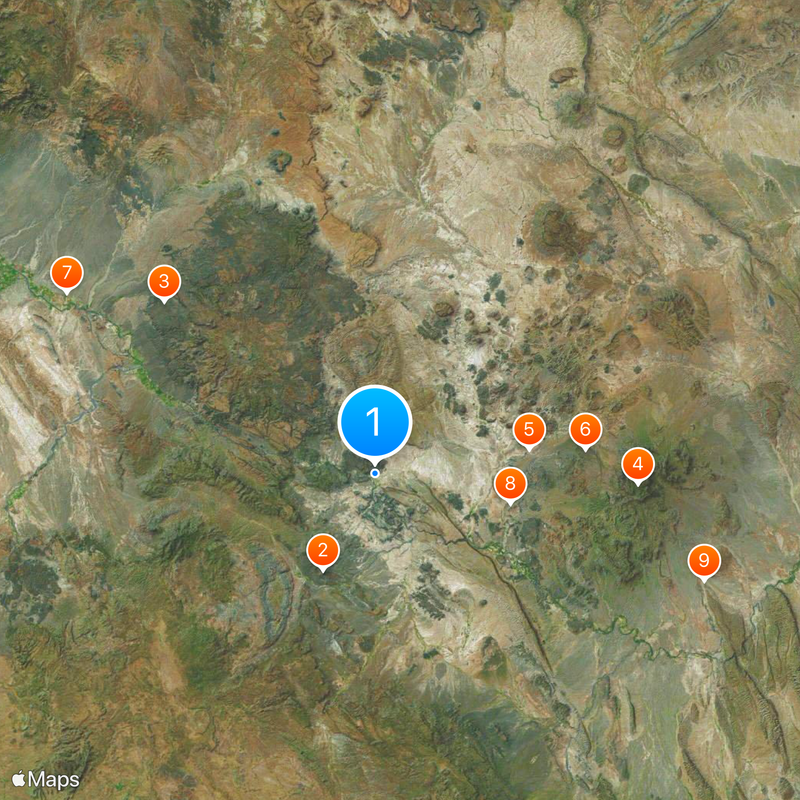
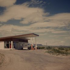
Lajitas is far from any large town, so driving your own vehicle is the only practical way to get there. It is a good idea to stock up on fuel, water, and food before arriving, as options on site are very limited.

Lajitas once elected a beer-drinking goat named Clay Henry as its mayor, a tradition that was passed down through several generations of the same goat family. The story brought reporters and curious travelers to this otherwise quiet desert stop.

The community of curious travelers

AroundUs brings together thousands of curated places, local tips, and hidden gems, enriched daily by 60,000 contributors worldwide.

Start exploring
Location
GPS coordinates
29.26167,-103.77667
Latest update
March 3, 2026 08:22
Around this place
Cañón de Santa Elena Flora and Fauna Protection Area
Mexico

Cañón de Santa Elena Flora and Fauna Protection Area

19 km
Big Bend Ranch State Park
United States of America

Big Bend Ranch State Park

47.3 km
Emory Peak
United States of America

Emory Peak

45.8 km
Aguja Formation
Mexico

Aguja Formation

27.2 km
Javelina Formation
United States of America

Javelina Formation

36.8 km
Fort Leaton State Historic Site
United States of America

Fort Leaton State Historic Site

62 km
Luna Jacal
United States of America

Luna Jacal

24.1 km
Mariscal Mine
United States of America

Mariscal Mine

60.2 km
Homer Wilson Ranch
United States of America

Homer Wilson Ranch

40.2 km
Persimmon Gap
United States of America

Persimmon Gap

74.1 km
Rancho Estelle
United States of America

Rancho Estelle

23 km
Santa Elena Canyon
Mexico

Santa Elena Canyon

19.2 km
Sotol Vista Overlook
United States of America

Sotol Vista Overlook

39.2 km
Santa Elena Canyon Trail
United States of America

Santa Elena Canyon Trail

19.2 km
Panther Junction Visitor Center
United States of America

Panther Junction Visitor Center

55.9 km
Panther Junction Mission 66 Historic District
United States of America

Panther Junction Mission 66 Historic District

55.9 km
Castolon Historic District
United States of America

Castolon Historic District

29.2 km
Fort Leaton State Historic Site
United States of America

Fort Leaton State Historic Site

62 km
Castolon Ranger Station
United States of America

Castolon Ranger Station

29.2 km
Chisos Basin Visitor Center
United States of America

Chisos Basin Visitor Center

46.3 km
Dugout Wells
United States of America

Dugout Wells

62.3 km
Panther Junction Gas Station
United States of America

Panther Junction Gas Station

55.6 km
Starlight Theatre
United States of America

Starlight Theatre

17.6 km
Homer Wilson Ranch Overlook
United States of America

Homer Wilson Ranch Overlook

39.9 km
Maverick Entrance Sign
United States of America

Maverick Entrance Sign

26.5 km
Castolon Store
United States of America

Castolon Store

29.2 km
Alvino House
United States of America

Alvino House

29.1 km
Persimmon Gap Entrance Station
United States of America

Persimmon Gap Entrance Station

73.5 km
Show the full map
Reviews
Share your experience

No review yet

Discussions
Start a discussion...

No discussion yet

« Lajitas - unincorporated community in Brewster County, Texas, United States » is provided by Around Us (aroundus.com). Images and texts are derived from Wikimedia project under a Creative Commons license. You are allowed to copy, distribute, and modify copies of this page, under the conditions set by the license, as long as this note is clearly visible.

Discover hidden gems everywhere you go!

From secret cafés to breathtaking viewpoints, skip the crowded tourist spots and find places that match your style. Our app makes it easy with voice search, smart filtering, route optimization, and insider tips from travelers worldwide. Download now for the complete mobile experience.

Around Us App Screenshot

A unique approach to discovering new places

Le Figaro

All the places worth exploring

France Info

A tailor-made excursion in just a few clicks

20 Minutes

Around Us
Travel Guide & Maps
Download

Send to your phone

QR Code
1

Open the camera app on your mobile.

2

Point at the QR code with your camera. A notification will appear.

3

Tap the notification to open the link.