
Bavispe, municipality of Sonora, Mexico
Location: Sonora
Inception: December 4, 1931
Capital city: Bavispe
Website: http://bavispe.gob.mx
GPS coordinates: 30.63333,-109.00000
Latest update: May 23, 2025 21:18

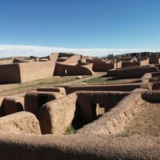
Casas Grandes
104.2 km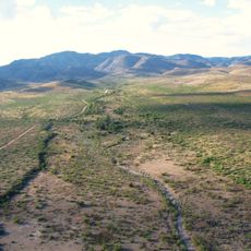
Skeleton Canyon
106.6 km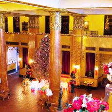
Gadsden Hotel
95.3 km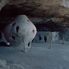
Cueva de la Olla
83.6 km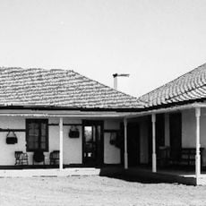
San Bernardino Ranch
82.7 km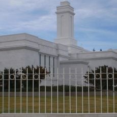
Colonia Juárez Chihuahua México Temple
95.3 km
San Bernardino National Wildlife Refuge
83.3 km
Leslie Canyon National Wildlife Refuge
117 km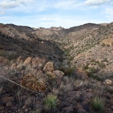
Canyon de Guadalupe
93.1 km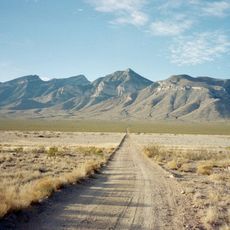
Big Hatchet Peak
125.4 km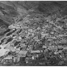
Bisbee Historic District
125.4 km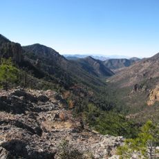
Rucker Canyon
131.2 km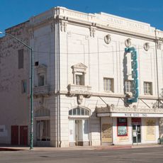
Grand Theatre
95.6 km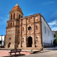
Temple of Our Lady of Assumption
116.6 km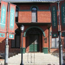
Phelps Dodge General Office Building
125.3 km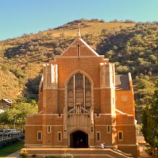
St. Patrick's Roman Catholic Church
126 km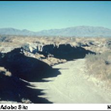
Double Adobe Site
94.6 km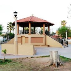
Plaza Azueta
94.2 km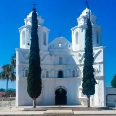
Our Lady of Loreto Church
92.9 km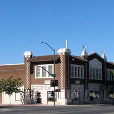
Douglas Historic District
95.2 km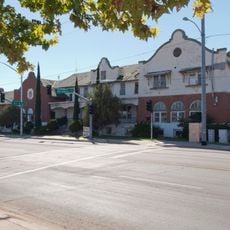
El Paso and Southwestern Railroad YMCA
95.3 km
Bisbee Residential Historic District
126.1 km
Bisbee Woman's Club Clubhouse
125.3 km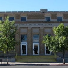
United States Post Office and Customs House–Douglas Main
95.2 km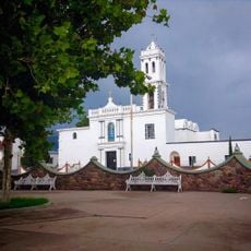
Temple of Our Lady of Assumption of Mary
31.6 km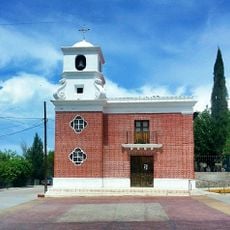
Temple of Saint Michael the Archangel
92.8 km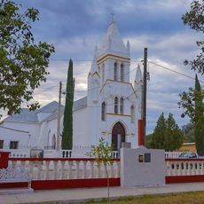
Temple of Saint Michael the Archangel
18 km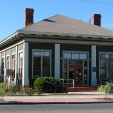
Douglas Residential Historic District
94.8 kmReviews
Visited this place? Tap the stars to rate it and share your experience / photos with the community! Try now! You can cancel it anytime.
Discover hidden gems everywhere you go!
From secret cafés to breathtaking viewpoints, skip the crowded tourist spots and find places that match your style. Our app makes it easy with voice search, smart filtering, route optimization, and insider tips from travelers worldwide. Download now for the complete mobile experience.

A unique approach to discovering new places❞
— Le Figaro
All the places worth exploring❞
— France Info
A tailor-made excursion in just a few clicks❞
— 20 Minutes