Sonora

Log in to your account

AroundUs is a community-driven map of interesting places, built by curious explorers like you. It grows with every review, story, and photo you share.
Connect to save your favorite spots, contribute locations, and create personalized routes.
Continue with Google
Continue with Apple
Continue with X
Continue with Facebook
Continue with email
By continuing, you accept our Terms and Conditions and our Privacy Policy
Create an account
Add to collection
Map
Suggest a change
Share

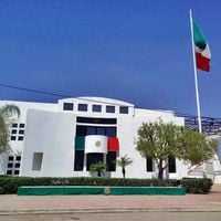
Sonora, State in northern Mexico

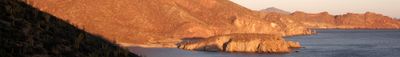
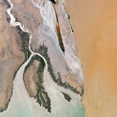
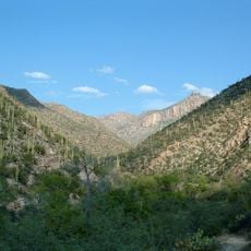
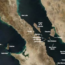
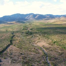
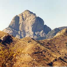
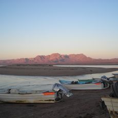
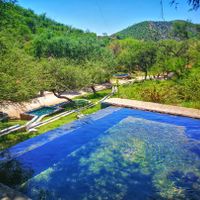
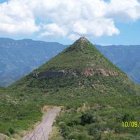
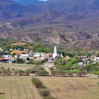
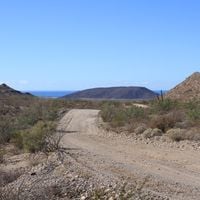
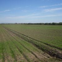
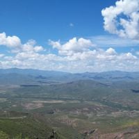
Sonora is a state in northwestern Mexico, stretching from the Gulf of California to the Sierra Madre Occidental range. The landscape shifts from desert flats and grasslands to mountains and a long coastline dotted with beaches and fishing towns.

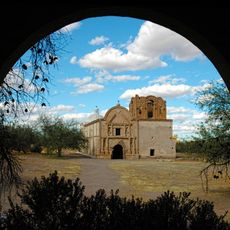
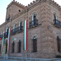
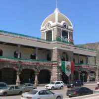
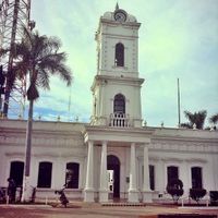
Spanish colonists opened copper, gold, and silver mines in the 1530s, drawing settlers and reshaping the region over centuries. The area became a Mexican state in 1830, following shifts in colonial boundaries and independence from Spain.

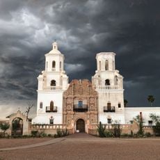
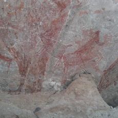
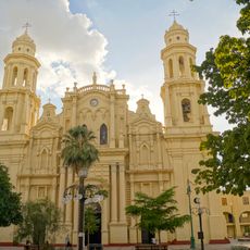
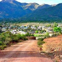
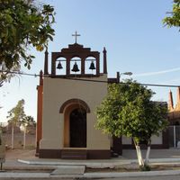
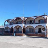
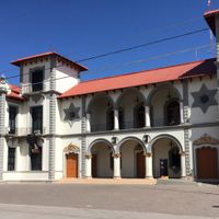
Markets and town squares reflect traditions from Mayo, Yaqui, and Seri communities, where visitors notice local crafts, music, and foods tied to these living cultures. Festivals throughout the year bring out dances and rituals that communities still practice in public, open to travelers curious about the region's roots.

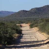
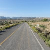
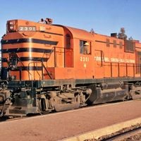
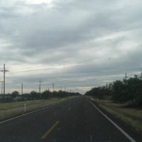
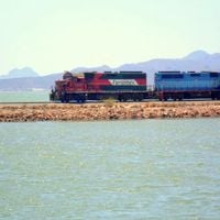
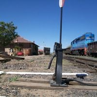
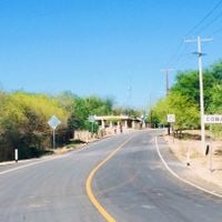
Highways and rail links connect the region to Arizona and New Mexico, making cross-border travel straightforward for those arriving by road. Summer temperatures climb high across the interior, while coastal areas stay cooler thanks to ocean breezes.

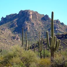
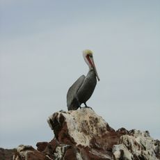
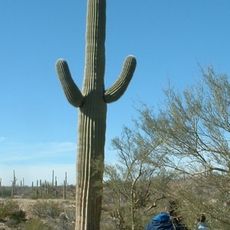
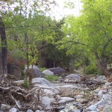
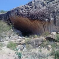
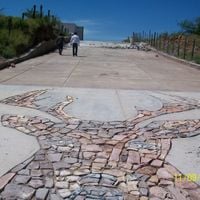
The Sonoran Desert shelters plants found nowhere else on Earth, including several cactus species with unusual shapes and sizes. The Gulf coast draws marine life and seabirds that travelers can watch while walking beaches or taking boat trips along the shore.
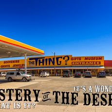
Location: Mexico

Inception: 1831

Capital city: Hermosillo

Elevation above the sea: 592 m

Reference: SON

Part of: Northern Mexico

Shares border with: Chihuahua, Arizona, New Mexico, Baja California

Website: http://sonora.gob.mx

GPS coordinates: 29.83333,-110.95000

Latest update: December 14, 2025 18:48

Photos
Around this place
309th Aerospace Maintenance and Regeneration Group
United States of America

309th Aerospace Maintenance and Regeneration Group

258.1 km
Saguaro National Park
United States of America

Saguaro National Park

272.4 km
The Thing?
United States of America

The Thing?

264.8 km
Mission San Xavier del Bac
United States of America

Mission San Xavier del Bac

253.2 km
Pima Air & Space Museum
United States of America

Pima Air & Space Museum

256.9 km
Kartchner Caverns State Park
United States of America

Kartchner Caverns State Park

230.4 km
Colorado River Delta
Mexico

Colorado River Delta

413.4 km
Arizona Stadium
United States of America

Arizona Stadium

266.7 km
Titan Missile Museum
United States of America

Titan Missile Museum

230.5 km
Kitt Peak National Observatory
United States of America

Kitt Peak National Observatory

244.5 km
El Pinacate y Gran Desierto de Altar Biosphere Reserve
Mexico

El Pinacate y Gran Desierto de Altar Biosphere Reserve

372 km
Bird Cage Theatre
United States of America

Bird Cage Theatre

225.6 km
El Vizcaíno Biosphere Reserve
Mexico

El Vizcaíno Biosphere Reserve

392.2 km
Sentinel Peak
United States of America

Sentinel Peak

264.6 km
Sabino Canyon
United States of America

Sabino Canyon

276.7 km
Arizona-Sonora Desert Museum
United States of America

Arizona-Sonora Desert Museum

269.1 km
Fort Bowie
United States of America

Fort Bowie

295.2 km
Rock Paintings of Sierra de San Francisco
Mexico

Rock Paintings of Sierra de San Francisco

320.7 km
Hotel Congress
United States of America

Hotel Congress

265.9 km
Catedral de Hermosillo
Mexico

Catedral de Hermosillo

84.4 km
Archangel Island
Mexico

Archangel Island

236.6 km
Skeleton Canyon
United States of America

Skeleton Canyon

267.9 km
Madera Canyon
United States of America

Madera Canyon

212.3 km
Empire Ranch
United States of America

Empire Ranch

219.3 km
Texas Canyon
United States of America

Texas Canyon

260.4 km
Tumacácori National Historical Park
United States of America

Tumacácori National Historical Park

193.4 km
Baboquivari Peak Wilderness
United States of America

Baboquivari Peak Wilderness

226 km
Islands and Protected Areas of the Gulf of California
Mexico

Islands and Protected Areas of the Gulf of California

242.1 km
Show the full map
Reviews

Visited this place? Tap the stars to rate it and share your experience / photos with the community! Try now! You can cancel it anytime.

« Sonora - State in northern Mexico » is provided by Around Us (aroundus.com). Images and texts are derived from Wikimedia project under a Creative Commons license. You are allowed to copy, distribute, and modify copies of this page, under the conditions set by the license, as long as this note is clearly visible.

Discover hidden gems everywhere you go!

From secret cafés to breathtaking viewpoints, skip the crowded tourist spots and find places that match your style. Our app makes it easy with voice search, smart filtering, route optimization, and insider tips from travelers worldwide. Download now for the complete mobile experience.

Around Us App Screenshot

A unique approach to discovering new places

Le Figaro

All the places worth exploring

France Info

A tailor-made excursion in just a few clicks

20 Minutes