
Carlsbad Caverns National Park
Carlsbad Caverns National Park, Underground limestone cave system in Eddy County, New Mexico.
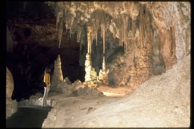
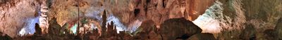
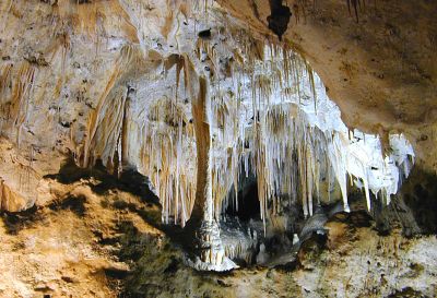
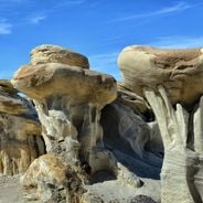
The national park contains more than 119 caves formed through limestone dissolution, creating extensive networks of passages and chambers beneath the Chihuahuan Desert.
The cave system gained protection in 1923 when President Calvin Coolidge declared it a national monument, leading to its establishment as a national park in 1930.
The park presents educational programs about cave formation, regional geology, and local wildlife, including the natural spectacle of bat emergence during summer evenings.
Visitors need timed entry tickets to access the caves, with options for self-guided tours through the natural entrance or elevator access from the visitor center.
The Big Room chamber extends 4,000 feet in length, 625 feet in width, and reaches 255 feet in height, making it North America's largest underground chamber.
Location: Eddy County
Inception: May 14, 1930
Operator: National Park Service
Website: https://nps.gov/cave
GPS coordinates: 32.17528,-104.44389
Latest update: August 1, 2025 08:12
Western United States contains natural territories from canyons to North America's highest sand dunes. The region features national parks, historical sites, and geological formations. Visitors find hot springs, underground caves, petrified forests, and archaeological sites of Pueblo culture.
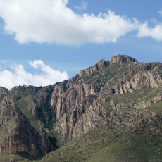
New Mexico combines natural formations and historical sites. The region includes caves, desert landscapes, volcanic areas, pueblo settlements, and military forts. The territory features geological structures, archaeological sites, hot springs, and museums.
Guadalupe Peak
50.5 km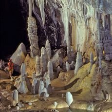
Lechuguilla Cave
5.9 km
Sitting Bull Falls
25 km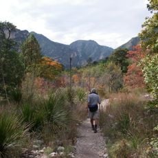
McKittrick Canyon
36.6 km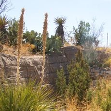
Living Desert Zoo and Gardens State Park
33.6 km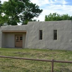
Rattlesnake Springs Historic District
7.6 km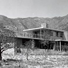
Wallace E. Pratt House
38.3 km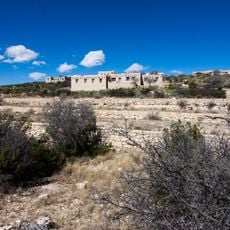
The Caverns Historic District
261 m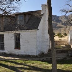
Frijole Ranch
44.9 km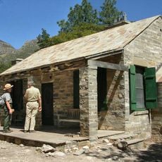
Wallace Pratt Lodge
38.3 km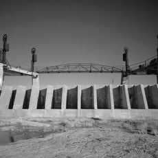
Carlsbad Irrigation District
39.6 km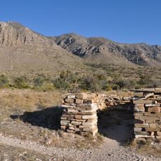
Pinery Station
47.1 km
Carlsbad Water Park
35.1 km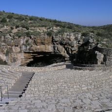
Bat Flight Amphitheater
296 m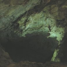
Carlsbad Cavern
334 m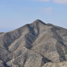
Guadalupe Mountains Wilderness
45.5 km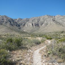
Smith Spring Trail
44.4 km
Indian Rock Shelter
2.5 km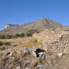
Butterfield Overland Mail Corridor
47.1 km
Rattlesnake Springs Pump House
7.7 km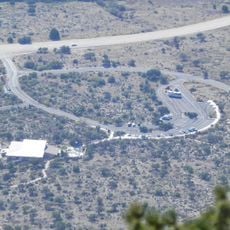
Pine Springs Visitor Center
47.4 km
Pine Springs Trailhead
47.7 km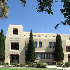
Eddy County Courthouse
34 km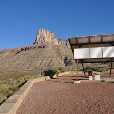
El Capitan Lookout
52.1 km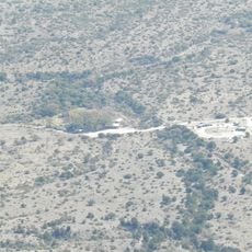
Frijole Ranch Picnic Area
45.1 km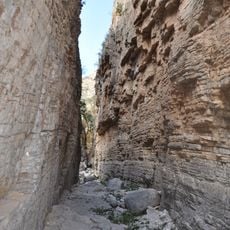
Devils Hall
48.4 km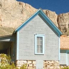
Williams Ranch
52.8 km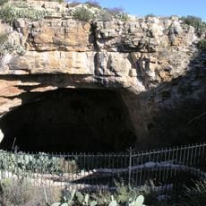
Natural Entrance
334 mReviews
Visited this place? Tap the stars to rate it and share your experience / photos with the community! Try now! You can cancel it anytime.
Discover hidden gems everywhere you go!
From secret cafés to breathtaking viewpoints, skip the crowded tourist spots and find places that match your style. Our app makes it easy with voice search, smart filtering, route optimization, and insider tips from travelers worldwide. Download now for the complete mobile experience.

A unique approach to discovering new places❞
— Le Figaro
All the places worth exploring❞
— France Info
A tailor-made excursion in just a few clicks❞
— 20 Minutes