
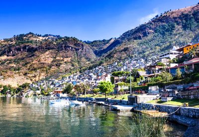
San Lucas Tolimán, municipality of Sololá Department, Guatemala
Location: Sololá Department
Elevation above the sea: 1,597 m
Shares border with: Santiago Atitlán, Patulul, Pochuta, Patzún, San Antonio Palopó, Cerro de Oro
Website: http://inforpressca.com/sltoliman
GPS coordinates: 14.63333,-91.13333
Latest update: April 3, 2025 23:31
Volcán de Fuego
32.5 km
Acatenango
31.4 km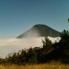
Volcán Atitlán
8.1 km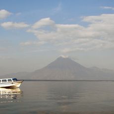
Volcán San Pedro
14.5 km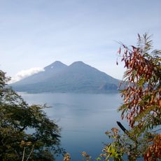
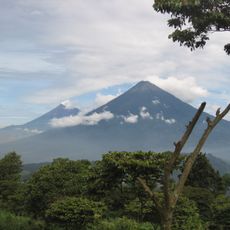
Volcán Tolimán
5.8 km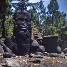
Pascual Abaj
33.8 km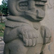
El Baúl
30.7 km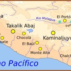
Chocolá
31.7 km
Chimaltenango Central Park
34 km
Iglesia de Santo Tomás
34.5 km
Cotzumalhuapa
35.7 km
Iglesia de Nuestra Señora del Carmen
43.3 km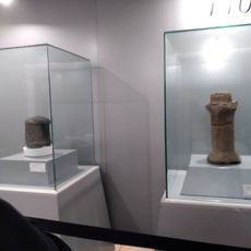
Iximche
18.6 km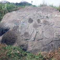
Bilbao
33.6 km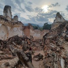
La Recolección Architectural Complex
43 km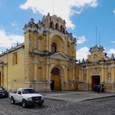
Hermano Pedro's Hospital
43 km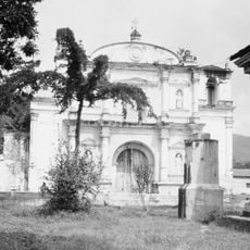
Parroquia de San Sebastián
43.5 km
Santa María Hydroelectric Dam
39.5 km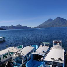
Pintado Santa Catarina Palopo
10.1 km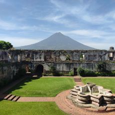
Ermita de San Jerónimo
43.3 km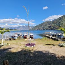
Playa Pública La Libertad
1 km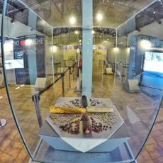
Museo Iximche
18.7 km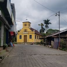
Chocolá, Suchitepéquez, Iglesia Católica
31.4 km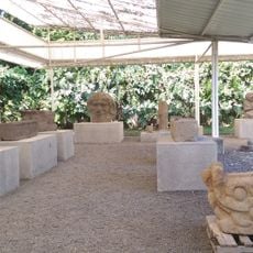
Museo el Baul
30.6 km
Canton Las Ruinas de Gumarkaaj
43.5 km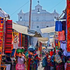
Chichicastenango Market
34.5 km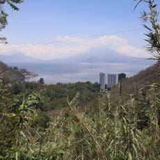
Mariposario Reserva De Atitlan
13.6 km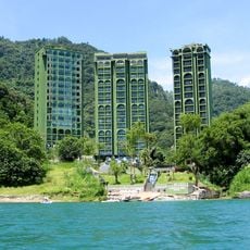
Riviera de Atitlan
13.3 kmVisited this place? Tap the stars to rate it and share your experience / photos with the community! Try now! You can cancel it anytime.
Discover hidden gems everywhere you go!
From secret cafés to breathtaking viewpoints, skip the crowded tourist spots and find places that match your style. Our app makes it easy with voice search, smart filtering, route optimization, and insider tips from travelers worldwide. Download now for the complete mobile experience.

A unique approach to discovering new places❞
— Le Figaro
All the places worth exploring❞
— France Info
A tailor-made excursion in just a few clicks❞
— 20 Minutes