Intibucá Department, Administrative department in western Honduras
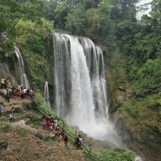
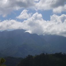
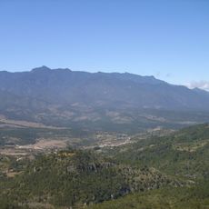
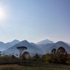
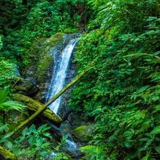
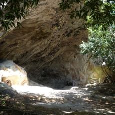
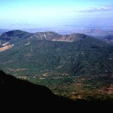
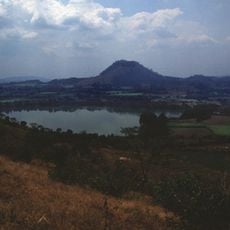
Intibucá Department is a mountainous administrative region in western Honduras that spans across elevated terrain with steep slopes and high peaks. The landscape creates distinct zones where settlements and farming communities are spread throughout the terrain.
The region was established as a separate administrative unit in 1883 when Governor José María Cacho divided the larger territory into smaller divisions. This reorganization allowed for better management of the scattered mountain communities.
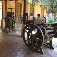
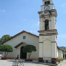
The Lenca people shape daily life through their agricultural practices and deep connection to the highland communities. This heritage remains visible in how families work the land and maintain their farming traditions across generations.
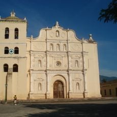
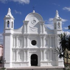
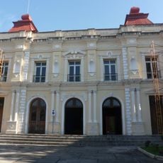
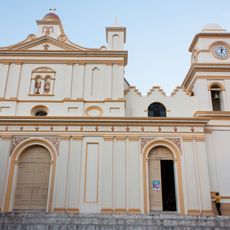
The region comprises 17 municipalities connected by roads, with La Esperanza serving as the administrative center for basic services. Visitors should know that the mountainous terrain means travel times are longer than flat distances might suggest.
The area holds several protected natural zones, including the Mixcure Wildlife Refuge and the Opalaca Biological Reserve. These reserves play an important role in safeguarding the local ecosystems for the future.
Location: Honduras
Inception: 1883
Capital city: La Esperanza
GPS coordinates: 14.30810,-88.17679
Latest update: December 7, 2025 20:23
Pulhapanzak
82.1 km
Celaque National Park
62.5 km
Immaculate Conception Cathedral, Comayagua
60.2 km
Cerro Las Minas
59.8 km
Cerro Azul Meámbar National Park
66.3 km
San Cristóbal fortress
53.9 km
Estadio Juan Francisco Barraza
91.9 km
Los Naranjos
72.4 km
Montaña de Comayagua National Park
74.7 km
Museum of Comayagua
60.2 km
Holy Spirit Grotto
58.8 km
St. Rose Cathedral, Santa Rosa de Copán
82.5 km
Volcán de Chinameca
93.8 km
Estadio José Gregorio Martínez
90.4 km
Colegio Tridentino de Comayagua
60 km
Teatro Nacional Francisco Gavidia
91.9 km
Museum of the Revolution
38.9 km
Santa Bárbara Central Park
68.2 km
Monumento a la Constitución de 1812
60.2 km
Área de Uso Múltiple Lago de Yojoa
63.7 km
Museo Colonial de Arte Religioso
60.2 km
Museo Histórico y Cívico Casa Cabañas
60 km
Potonico
86.1 km
Cuscatlán Bridge
88.4 km
Iglesia El Calvario
92.4 km
Joya Grande
82.8 km
Apastepeque
91.6 km
St. John the Baptist Cathedral
87.5 kmVisited this place? Tap the stars to rate it and share your experience / photos with the community! Try now! You can cancel it anytime.
Discover hidden gems everywhere you go!
From secret cafés to breathtaking viewpoints, skip the crowded tourist spots and find places that match your style. Our app makes it easy with voice search, smart filtering, route optimization, and insider tips from travelers worldwide. Download now for the complete mobile experience.
A unique approach to discovering new places❞
— Le Figaro
All the places worth exploring❞
— France Info
A tailor-made excursion in just a few clicks❞
— 20 Minutes