Lempira Department, Administrative department in western Honduras
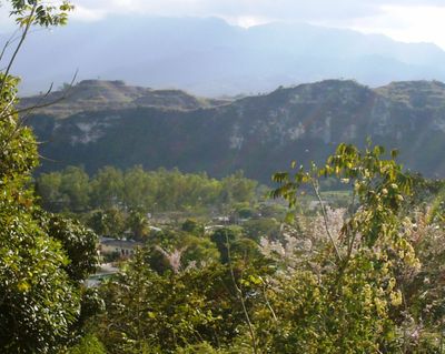
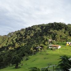
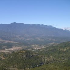
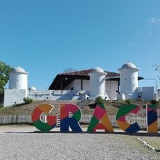
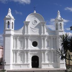
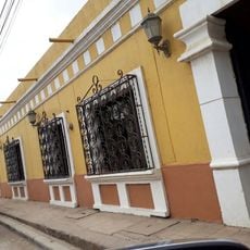
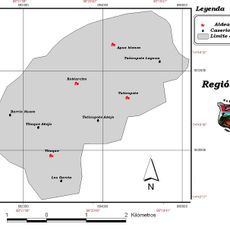
Lempira is an administrative department spanning western Honduras with mountainous terrain and borders shared with El Salvador and neighboring departments. It is organized into 28 municipalities, with Gracias serving as the main administrative center.
The territory was established as an official department on June 28, 1825, initially named Gracias as part of Honduras's first political division. Its borders and organization evolved over time into its current form.
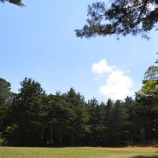
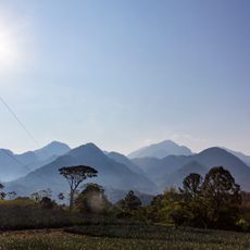
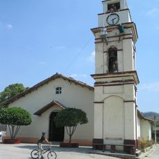
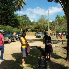
People here maintain strong ties to their land and work closely with the environment around them. You'll see families settled throughout the mountains, using the terrain for their daily activities.
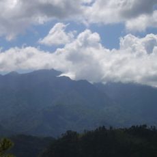
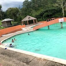
The region is mountainous with varying elevations, which can affect travel and makes bringing warmer clothing advisable even in warm seasons. The best time to visit is during the drier season when roads are easier to navigate.
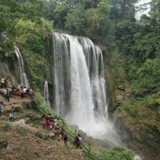
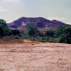
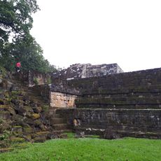
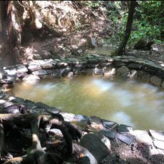
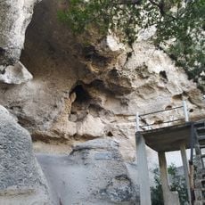
The region is home to Honduras's highest mountain peak and is known for opal mining and processing near smaller towns. This combination of geographic significance and mineral wealth makes it increasingly known to visitors.
The community of curious travelers
AroundUs brings together thousands of curated places, local tips, and hidden gems, enriched daily by 60,000 contributors worldwide.