
San Francisco de Becerra, human settlement in Honduras
Location: Olancho Department
Elevation above the sea: 407 m
GPS coordinates: 14.63333,-86.10000
Latest update: May 15, 2025 23:56
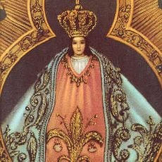
Virgin of Suyapa
129.6 km
Río Plátano Biosphere Reserve
162.6 km
La Tigra National Park
117.8 km
Pico Bonito National Park
136.7 km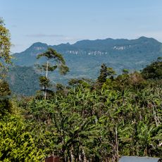
Reserva de la Biosfera Bosawás
138 km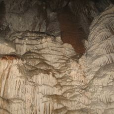
Talgua caves
38.8 km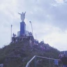
Christ at El Picacho
131.5 km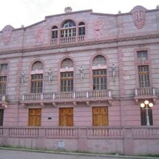
Manuel Bonilla National Theater
133.2 km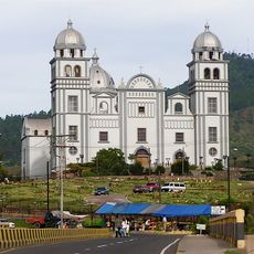
Basílica de Suyapa
129.6 km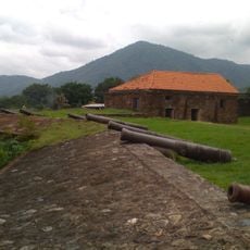
Santa Bárbara fortress
144.2 km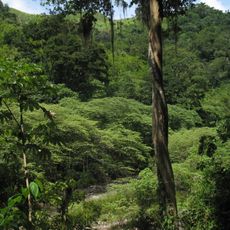
Sierra de Agalta National Park
49.7 km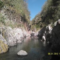
Somoto Canyon National Monument
146.5 km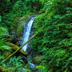
Montaña de Comayagua National Park
152.8 km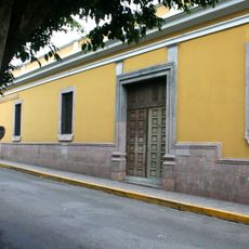
Juan Ramón Molina National Library
132.7 km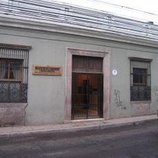
Museo del Hombre Hondureño
132.6 km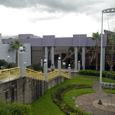
Chiminike
134.4 km
Estadio Ceibeño
148 km
Tegucigalpa Honduras Temple
138.7 km
Monumento a la Constitución de 1812
167.1 km
Museo Colonial de Arte Religioso
167.1 km
Museum for National Identity
133.1 km
St. John the Baptist Cathedral, Trujillo
144.1 km
Nature Reserve Tepesomoto-Pataste
163.5 km
Punta Caxinas Lighthouse
155.2 km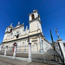
Parroquia San Rafael Arcángel
158.1 km
Museo Numismatico
134.6 km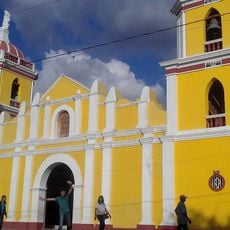
Iglesia Ciudad Antigua
112.8 km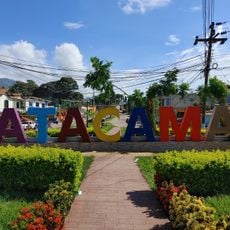
Letras de Catacamas
32.2 kmReviews
Visited this place? Tap the stars to rate it and share your experience / photos with the community! Try now! You can cancel it anytime.
Discover hidden gems everywhere you go!
From secret cafés to breathtaking viewpoints, skip the crowded tourist spots and find places that match your style. Our app makes it easy with voice search, smart filtering, route optimization, and insider tips from travelers worldwide. Download now for the complete mobile experience.

A unique approach to discovering new places❞
— Le Figaro
All the places worth exploring❞
— France Info
A tailor-made excursion in just a few clicks❞
— 20 Minutes