Esmeraldas Province, Coastal province in northwestern Ecuador
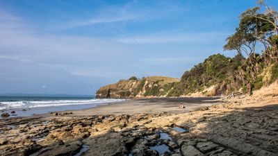
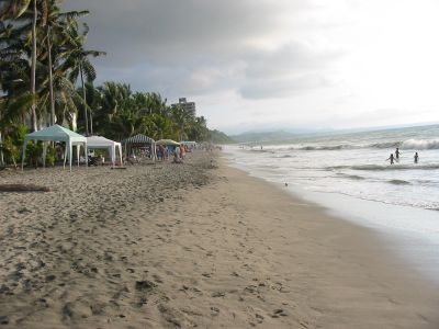
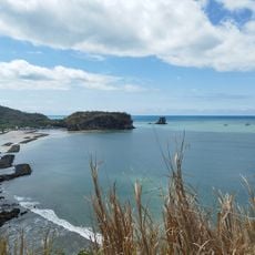
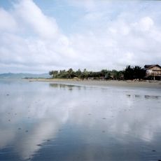
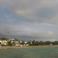
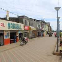
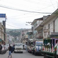
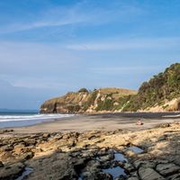
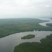
Esmeraldas Province sits in the northwest of the country and runs along the Pacific coast with beaches, mangrove forests, and tropical rainforest areas inland. The territory includes seven cantons with the capital city of the same name serving as the main center and port.
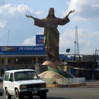
The region was officially declared a province on November 20, 1847, and gained strategic importance because of its location on the border with Colombia. Centuries earlier, indigenous groups lived here before African slaves in the 16th century reshaped the population.
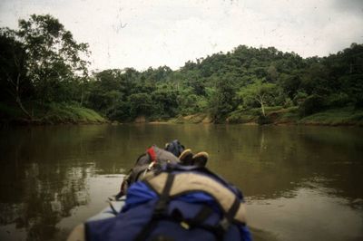
Afro-Ecuadorian communities shape daily life with marimba rhythms and traditional dances heard in many coastal villages. Fishing traditions pass from generation to generation, with men and women heading out to sea in simple boats along the shoreline.
Access usually goes through the provincial capital, from where buses and boats reach coastal towns and smaller inland settlements. The rainy season runs from January to May, while drier months offer better conditions for beach visits and hikes.
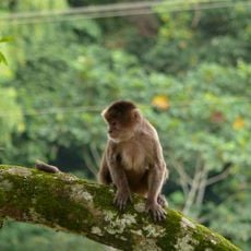
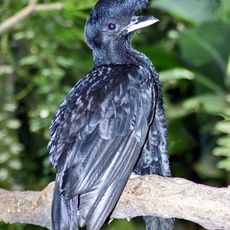
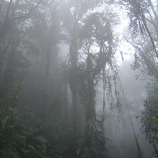
The Mache-Chindul Reserve protects one of the last coastal forests of its kind and shelters rare plant and animal species found only here. Trails wind through dense vegetation where visitors can watch howler monkeys and tropical birds in their natural habitat.
Location: Ecuador
Inception: November 20, 1847
Capital city: Esmeraldas
Elevation above the sea: 184 m
Shares border with: Manabí Province, Santo Domingo de los Tsáchilas Province, Pichincha Province, Imbabura Province, Carchi Province, Nariño Department
Website: http://prefecturadeesmeraldas.gob.ec
GPS coordinates: 0.73333,-79.15000
Latest update: December 4, 2025 19:06
Ciudad Mitad del Mundo
112.6 km
Pichincha Volcano
117.1 km
Pululahua Geobotanical Reserve
108.8 km
Cuicocha
100 km
TelefériQo
124.8 km
Imbabura Volcano
120.4 km
Manglares Cayapas-Mataje Ecological Reserve
67.4 km
Parque Bicentenario
122 km
Sincholagua Volcano
108.8 km
Mache-Chindul Ecological Reserve
80 km
Cotacachi Cayapas Ecological Reserve
55.1 km
Cotacachi Volcano
98.4 km
Colegio Técnico Experimental de Aviación Civil
121.9 km
Cultural Complex Fabrica Imbabura
113.9 km
Museo Solar Intiñán
112.6 km
Torre Urban Plaza
94.8 km
Imbabura UNESCO Global Geopark
116.5 km
Bellavista Cloud Forest Reserve
98.4 km
Catequilla
114.5 km
Mojanda
121.5 km
Lagunas de mojanda
118.7 km
Intiñan Equator Museum
112.6 km
Jardín botánico La Carolina
110 km
Maquipucuna
120.8 km
Playa de Súa
82.2 km
Muisne Beach
98.6 km
Monumento a la Mitad del Mundo
112.6 km
Mindo-Nambillo Ecological Reserve
99.6 kmVisited this place? Tap the stars to rate it and share your experience / photos with the community! Try now! You can cancel it anytime.
Discover hidden gems everywhere you go!
From secret cafés to breathtaking viewpoints, skip the crowded tourist spots and find places that match your style. Our app makes it easy with voice search, smart filtering, route optimization, and insider tips from travelers worldwide. Download now for the complete mobile experience.
A unique approach to discovering new places❞
— Le Figaro
All the places worth exploring❞
— France Info
A tailor-made excursion in just a few clicks❞
— 20 Minutes