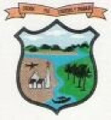
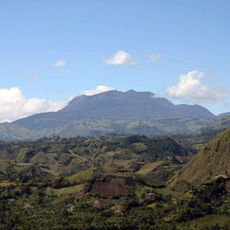
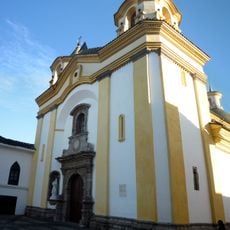
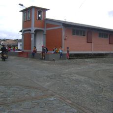
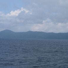
El Charco, Colombian municipality of the department of Nariño
Location: Nariño Department
Inception: October 16, 1886
Elevation above the sea: 10 m
Website: http://www.elcharco-narino.gov.co/index.shtml
Website: http://elcharco-narino.gov.co
GPS coordinates: 2.47750,-78.11111
Latest update: June 6, 2025 16:34
Galeras
162.9 km
Volcán Azufral
161 km
Lake Salvajina
163.5 km
Estadio Departamental Libertad
170 km
Morro del Tulcán
167.5 km
Santo Ecce Homo de Popayán
168.2 km
Doña Juana
170.1 km
Munchique National Natural Park
116.9 km
Saint Francis of Assisi Church
167.2 km
Cathedral Basilica of Our Lady of the Assumption, Popayán
167.4 km
Parque Caldas
167.4 km
Sotará
173.9 km
Sanquianga National Natural Park
27.3 km
Laguna Verde (Nariño)
161.3 km
Sagrado Corazón, Pasto
168.2 km
Ermita de Jesús Nazareno
167.2 km
Estadio Ciro López
169 km
Cerro Morazurco
165.6 km
Iglesia de San José
167.2 km
Petacas
172.4 km
Amo Jesús de Puelenje
165.3 km
Puelenje
165.3 km
Nuestra Señora de la Merced
168.6 km
Santiago
168.5 km
Cristo Rey
168.4 km
San Felipe Neri
168.4 km
San Andrés
167.9 km
Gorgona Island National Park
55.1 kmReviews
Visited this place? Tap the stars to rate it and share your experience / photos with the community! Try now! You can cancel it anytime.
Discover hidden gems everywhere you go!
From secret cafés to breathtaking viewpoints, skip the crowded tourist spots and find places that match your style. Our app makes it easy with voice search, smart filtering, route optimization, and insider tips from travelers worldwide. Download now for the complete mobile experience.
A unique approach to discovering new places❞
— Le Figaro
All the places worth exploring❞
— France Info
A tailor-made excursion in just a few clicks❞
— 20 Minutes