Cartagena del Chairá, Administrative center in Caquetá, Colombia
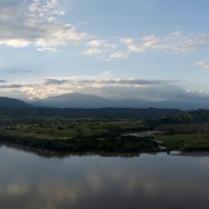
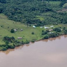
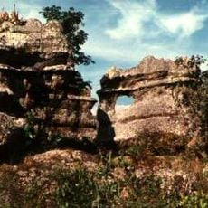
Cartagena del Chairá serves as the administrative center of its municipality in Caquetá, southeastern Colombia. The municipal territory contains diverse geographical features including river systems, rolling terrain, and thick forest coverage across a large area.
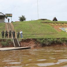
The municipality was established as an administrative center to govern the sparsely populated region of Caquetá. The area became significant during the Colombian conflict when it served as a location for negotiations between government and armed groups between 1999 and 2002.
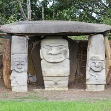
Indigenous traditions continue through local celebrations that feature regional music, dances, and displays of handmade crafts. These gatherings bring together the community to share traditions that have shaped life in this part of Colombia.
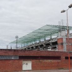
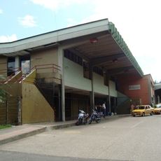
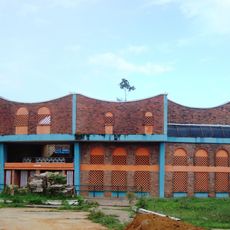
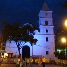
The town center contains municipal administrative offices that serve the local population and visitors. The region is sparsely populated, so expect longer travel times and simpler infrastructure compared to larger cities.
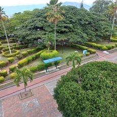
With very low population density, the municipality remains one of the least densely settled areas in Colombia, creating a notably quiet and slow-paced environment. This emptiness gives the landscape an open quality that visitors from crowded regions rarely experience elsewhere.
GPS coordinates: 1.33452,-74.84141
Latest update: December 8, 2025 13:42
Yasuni National Park
273 km
Serranía de la Macarena
155.1 km
San Agustin archeological park
167.9 km
Chiribiquete National Park
237.3 km
Cuyabeno Wildlife Reserve
195.7 km
Cueva de los Guácharos National Natural Park
145.8 km
Lake Betania
164.4 km
Estadio Guillermo Plazas Alcid
184.8 km
Chiribiquete's rock shelters
231.5 km
Salto de Bordones
165.9 km
Cordillera de los Picachos National Natural Park
160.8 km
Tinigua National Natural Park
153 km
Güeppi
168.3 km
Tiputini Biodiversity Station
263.5 km
Güeppí Reserved Zone
202.1 km
Alto Fragua - Indi Wasi National Natural Park
143.9 km
Immaculate Conception Cathedral, Neiva
184 km
Our Lady of Lourdes Cathedral, Florencia
91.5 km
Salto de Mortiño
163.3 km
Terminal de Transportes de Florencia
91.2 km
Plaza de toros de Santo Domingo
93.9 km
Íquira, Huila Main Park
170.9 km
Brigada 27 Mocoa
202.2 km
Parque Nacional Natural Sierra de La Macarena
182.6 km
Jardín Botánico de La Macarena
150.5 km
Sierra de la Macarena National Nature Park
218.6 km
Church of the Immaculate Conception, Neiva
184.1 kmVisited this place? Tap the stars to rate it and share your experience / photos with the community! Try now! You can cancel it anytime.
Discover hidden gems everywhere you go!
From secret cafés to breathtaking viewpoints, skip the crowded tourist spots and find places that match your style. Our app makes it easy with voice search, smart filtering, route optimization, and insider tips from travelers worldwide. Download now for the complete mobile experience.
A unique approach to discovering new places❞
— Le Figaro
All the places worth exploring❞
— France Info
A tailor-made excursion in just a few clicks❞
— 20 Minutes