Rivera, Municipality in Huila Department, Colombia
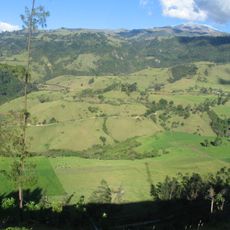
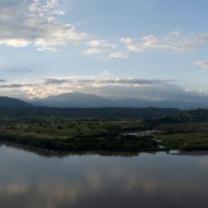
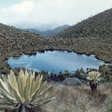
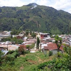
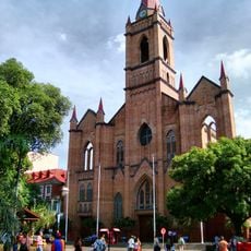
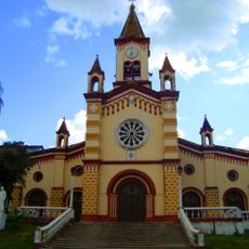
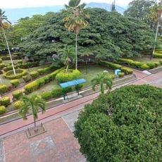
Rivera is a municipality in the Huila Department that serves as a local administrative center. The town sits on hilly terrain and connects to other settlements in the region through road networks.
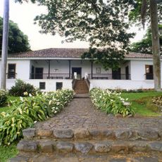
The settlement developed through Colombia's administrative reorganization efforts during the late colonial and early independent periods. These changes built upon earlier governance traditions established in the region.
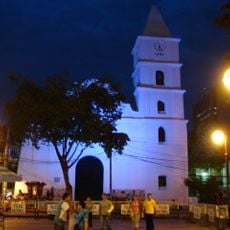
Local celebrations bring out traditional music and dancing that reflect the region's heritage. People gather together to keep these customs alive through everyday community events.
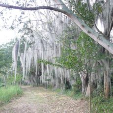
Visitors can easily reach the town via roads that connect to larger cities in the surrounding region. The area is hilly, so be prepared for some physical effort when exploring on foot.
The town operates both as a government seat and an agricultural hub, balancing administrative duties with rural production. This dual role shapes how daily life unfolds in the community.
Location: Huila Department
Elevation above the sea: 700 m
Website: http://rivera-huila.gov.co
GPS coordinates: 2.77722,-75.25528
Latest update: December 7, 2025 20:45
San Agustin archeological park
144.9 km
Nevado del Huila
87.6 km
Tierradentro
89.1 km
Hacienda El Paraíso
142.2 km
Puracé
136.8 km
Puracé National Natural Park
137.7 km
Lake Betania
23 km
Las Hermosas National Natural Park
114.2 km
Santa Elena
146.8 km
Estadio Guillermo Plazas Alcid
17.9 km
Estadio Francisco Rivera Escobar
143.5 km
Gaitania
74.9 km
Salto de Bordones
132.5 km
Cordillera de los Picachos National Natural Park
67.3 km
Tinigua National Natural Park
126.8 km
La Venta
60.7 km
Immaculate Conception Cathedral, Neiva
17 km
Our Lady of Lourdes Cathedral, Florencia
135.7 km
Laguna de Sonso Nature Reserve
149.5 km
Salto de Mortiño
145.4 km
House of Adoration North of Cauca
140.4 km
Terminal de Transportes de Florencia
134.7 km
Plaza de toros de Santo Domingo
138.6 km
Canto
151.5 km
Capilla Paéz San Andrés de Pisimbalá
90.5 km
Íquira, Huila Main Park
44.7 kmParque Nacional Natural Sierra de La Macarena
158.3 km
Church of the Immaculate Conception, Neiva
17.1 kmVisited this place? Tap the stars to rate it and share your experience / photos with the community! Try now! You can cancel it anytime.
Discover hidden gems everywhere you go!
From secret cafés to breathtaking viewpoints, skip the crowded tourist spots and find places that match your style. Our app makes it easy with voice search, smart filtering, route optimization, and insider tips from travelers worldwide. Download now for the complete mobile experience.
A unique approach to discovering new places❞
— Le Figaro
All the places worth exploring❞
— France Info
A tailor-made excursion in just a few clicks❞
— 20 Minutes