Cachoeira Iauti, Wasserfall in Brasilien
Location: Amazonas
Elevation above the sea: 168 m
GPS coordinates: 1.25167,-69.54444
Latest update: August 28, 2025 06:40

Serranía de la Macarena
492.1 km
Pico da Neblina
396.7 km
Chiribiquete National Park
368.1 km
Cerro Autana
463.8 km
The Hub on Causeway
209.4 km
Piedra del Cocuy
303.1 km
Pico da Neblina National Park
414 km
Pico 31 de Março
396.9 km
Serranía La Neblina National Park
391.7 km
Piedra del Cocuy Natural Monument
303.1 km
Yaigojé-Apaporis National Park
231.8 km
Yapacana National Park
408.9 km
Chiribiquete's rock shelters
358.1 km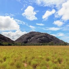
Piedra La Tortuga Natural Monument
526.9 km
Cerro Duida
493.9 km
Morro dos Seis Lagos Biological Reserve
334 km
Forte de São José de Marabitanas
303.5 km
Cué-cué/Marabitanas Indigenous Territory
299.5 km
Auatí-Paraná Extractive Reserve
515.2 km
Cerros Vinilla y Aratitiyope Natural Monument
461.3 km
Cuao-Sipapo y Moriche Massif Natural Monument
486.5 km
Monumento Natural Cerro Autana
463.8 km
Sipapo Forest Reserve
525.1 km
Sierra Unturan Natural Monument
461.3 km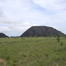
Piedra Pintada Natural Monument
526.2 km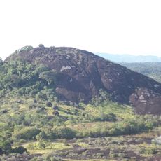
Piedra La Tortuga
526.9 km
Jardín Botánico de La Macarena
483.4 km
Reviews
Visited this place? Tap the stars to rate it and share your experience / photos with the community! Try now! You can cancel it anytime.
Discover hidden gems everywhere you go!
From secret cafés to breathtaking viewpoints, skip the crowded tourist spots and find places that match your style. Our app makes it easy with voice search, smart filtering, route optimization, and insider tips from travelers worldwide. Download now for the complete mobile experience.

A unique approach to discovering new places❞
— Le Figaro
All the places worth exploring❞
— France Info
A tailor-made excursion in just a few clicks❞
— 20 Minutes