
El Retorno, Colombian municipality of the department of Guaviare
Location: Guaviare Department
Inception: 1935
Elevation above the sea: 326 m
Website: http://elretorno-guaviare.gov.co
GPS coordinates: 2.33056,-72.62780
Latest update: March 14, 2025 09:00
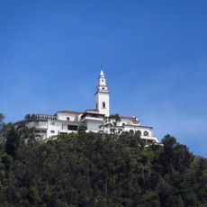
Monserrate
298.8 km
Serranía de la Macarena
134.9 km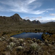
Sumapaz Paramo
284.1 km
Chingaza National Natural Park
274.3 km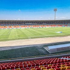
Estadio Bello Horizonte - Rey Pelé
229.5 km
Chiribiquete National Park
182.5 km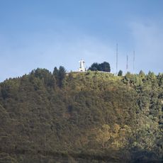
Guadalupe Hill
297.4 kmThe Hub on Causeway
174.3 km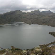
Sumapaz Natural Park
284.1 km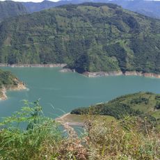
Guavio Reservoir
280.7 km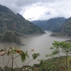
Embalse de Chivor
301.8 km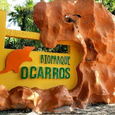
Bioparque Los Ocarros
233.5 km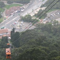
Teleférico de Monserrate
298.9 km
Chiribiquete's rock shelters
112.6 km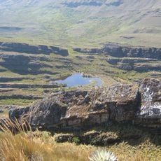
Cordillera de los Picachos National Natural Park
230.1 km
Tinigua National Natural Park
170 km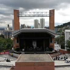
La Media Torta
298.9 km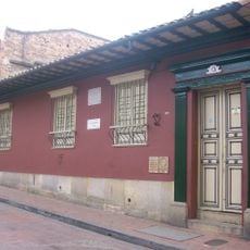
Silva Poetry House
299.1 km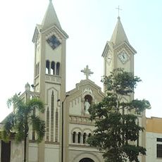
Our Lady of Mount Carmel Cathedral, Villavicencio
231.8 km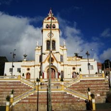
Iglesia de Nuestra Señora de Egipto
298.5 km
Colombian Institute of Anthropology and History
298.9 km
Museo de Arte Banco de la República
299 km
Archeological Museum of Pasca
288.1 km
Fundación Gilberto Alzate Avendaño
298.9 km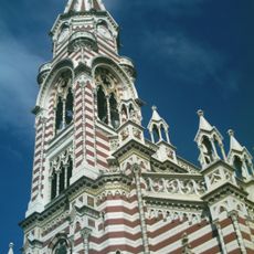
Iglesia de Nuestra Señora del Carmen, Bogot
298.9 km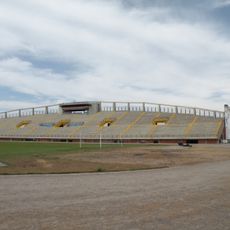
Santiago de las Atalayas Stadium
337 km
La Esmeralda Dam
295.6 kmVisited this place? Tap the stars to rate it and share your experience / photos with the community! Try now! You can cancel it anytime.
Discover hidden gems everywhere you go!
From secret cafés to breathtaking viewpoints, skip the crowded tourist spots and find places that match your style. Our app makes it easy with voice search, smart filtering, route optimization, and insider tips from travelers worldwide. Download now for the complete mobile experience.

A unique approach to discovering new places❞
— Le Figaro
All the places worth exploring❞
— France Info
A tailor-made excursion in just a few clicks❞
— 20 Minutes