
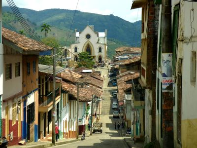
Apía, Colombian municipality of the department of Risaralda
Location: Risaralda Department
Elevation above the sea: 1,630 m
Website: http://apia-risaralda.gov.co
GPS coordinates: 5.10528,-75.94333
Latest update: June 12, 2025 12:29
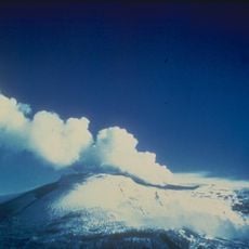
Nevado del Ruiz
73.7 km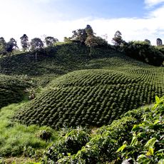
Coffee Cultural Landscape of Colombia
50 km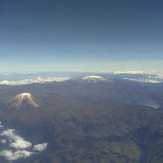
Los Nevados National Natural Park
72.4 km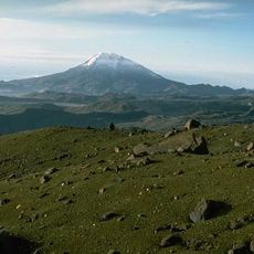
Nevado del Tolima
84.3 km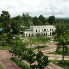
National Coffee Park
65.8 km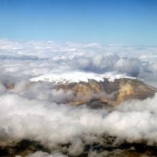
Santa Isabel
71.6 km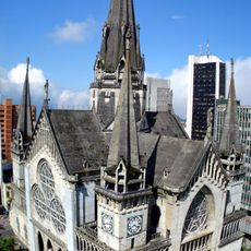
Catedral Basílica Metropolitana Nuestra Señora del Rosario
47.4 km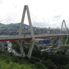
César Gaviria Trujillo Viaduct
42.9 km
Tatamá National Natural Park
22.9 km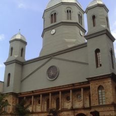
Catedral de Nuestra Señora de la Pobreza
42.5 km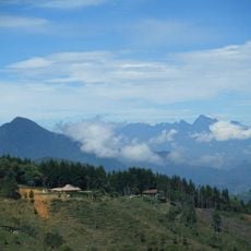
Cerro Bravo
72.3 km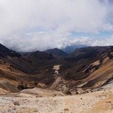
Nevado del Quindío
75.2 km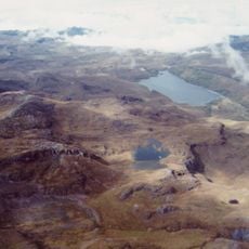
Otún Quimbaya Fauna and Flora Sanctuary
58.6 km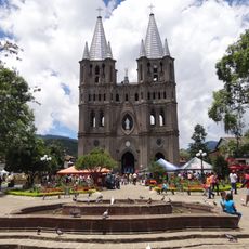
Basílica de la Inmaculada Concepción
56.7 km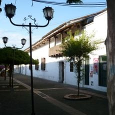
Viceroy's House
39.7 km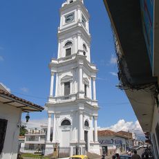
Notre-Dame-du-Mont-Carmel de Cartago cathedral
39.8 km
Torre de Herveo
51 km
Quimbaya Museum
67.7 km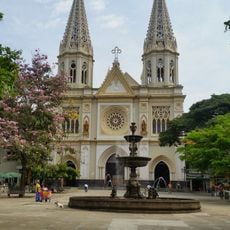
Iglesia de Nuestra Señora de las Mercedes
61.6 km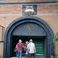
Museo de la Uva y el Vino
66.1 km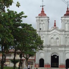
Co-Cathedral of St. Joseph
70.8 km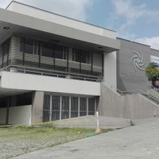
Centro Cultural Metropolitano de Convenciones de Armenia
68.7 km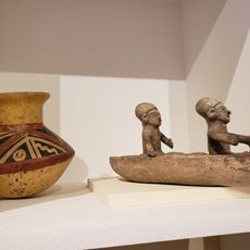
MAJA Museum Anthropologia y Arte
78.2 km
Parque Simón Bolívar
61.7 km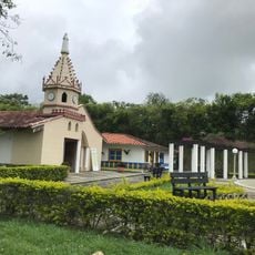
Parque Consotá
37.5 km
Arènes El Bosque
69.7 km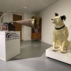
Museo del Disco y la Música
59.1 km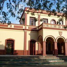
Antigua Estación Del Ferrocarril.
40.3 kmReviews
Visited this place? Tap the stars to rate it and share your experience / photos with the community! Try now! You can cancel it anytime.
Discover hidden gems everywhere you go!
From secret cafés to breathtaking viewpoints, skip the crowded tourist spots and find places that match your style. Our app makes it easy with voice search, smart filtering, route optimization, and insider tips from travelers worldwide. Download now for the complete mobile experience.

A unique approach to discovering new places❞
— Le Figaro
All the places worth exploring❞
— France Info
A tailor-made excursion in just a few clicks❞
— 20 Minutes