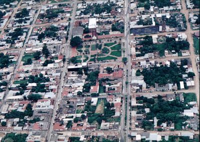
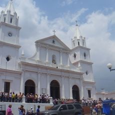
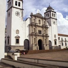
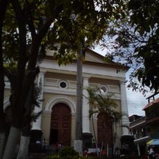
Arauca Department, Administrative department in northeastern Colombia
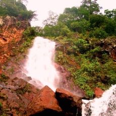
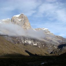
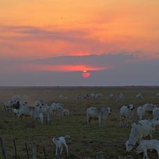
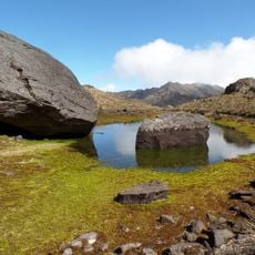
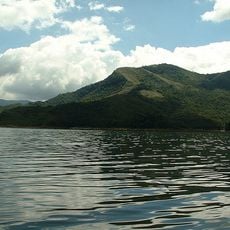
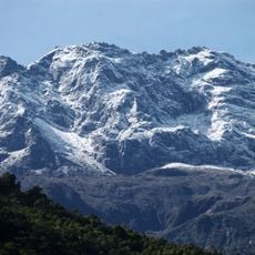
Arauca Department is an administrative region in northeastern Colombia that stretches along the Venezuelan border and is defined by wide plains. The landscape is crossed by several rivers belonging to the Orinoco watershed, flowing through open grasslands.
The territory gained department status in 1991 after previously being administered as an intendency. This conversion brought the area a new standing within the Colombian administrative framework.
The plains are home to six indigenous communities who inhabit and maintain their traditional territories across generations. Some of these groups have preserved their own languages and ways of life, visible in their settlements and daily routines.
Travel to the region usually starts from the capital, from where roads lead to the different municipalities. The best time to visit is during the dry season, when paths through the plains are easier to navigate.
The oil fields in the area are among the most important extraction sites in the country and have shaped the local economy for decades. Extraction has influenced the development of many communities and brought new connections to the remote plains.
Location: Colombia
Inception: 1991
Capital city: Arauca
Elevation above the sea: 132 m
Reference: ARA
Shares border with: Casanare Department, Boyacá Department, Vichada Department, Apure
Website: http://arauca.gov.co
GPS coordinates: 6.61667,-70.98333
Latest update: December 12, 2025 23:25
El Cocuy National Park
145.2 km
Pico Bolívar
214.4 km
Mérida cable car
213.1 km
Pisba National Natural Park
193.3 km
Estadio Polideportivo de Pueblo Nuevo
187 km
Chorro El Indio National Park
182.4 km
Potosí
166 km
Pico Espejo
213.3 km
El Tamá National Park
168.1 km
Ritacuba Blanco
145.9 km
Hato El Cedral
205.2 km
General Juan Pablo Peñaloza National Park
185.8 kmHospital Central de San Cristóbal
186.9 kmTamá National Natural Park
153.6 km
Tapo-Caparo National Park
168.9 km
José Antonio Páez International Bridget
59 km
Basilica of Our Lady of Consolation, Táriba
191.7 km
Pico Bonpland
214.4 km
Cathedral of St. Christopher
188.3 km
Puente Libertador
191.5 kmRío Viejo San Camilo National Park
154.9 km
Isidore the Laborer Church, Potosí
165.7 kmAbra de Río Frío Natural Monument
186.9 km
El Cocuy National Park
126.4 km
Basilica of the Holy Spirit, La Grita
202.2 km
Pico El León
211.3 km
Santiago de las Atalayas Stadium
211.7 km
Iglesia del Divino Redentor
186.5 kmVisited this place? Tap the stars to rate it and share your experience / photos with the community! Try now! You can cancel it anytime.
Discover hidden gems everywhere you go!
From secret cafés to breathtaking viewpoints, skip the crowded tourist spots and find places that match your style. Our app makes it easy with voice search, smart filtering, route optimization, and insider tips from travelers worldwide. Download now for the complete mobile experience.
A unique approach to discovering new places❞
— Le Figaro
All the places worth exploring❞
— France Info
A tailor-made excursion in just a few clicks❞
— 20 Minutes