Enable Location

We need your location to show you interesting places around you

Discover nearby places

Find interesting locations and hidden gems around you

Precise directions

Get accurate directions and distances to places

Your location is never shared with other users. It's only used when you tap the location button.

Cartago Canton

Log in to your account

Start exploring — it's free

Trusted by 62,079 travelers worldwide

Continue with Google
Continue with Apple
or

We will send you a code to connect

By continuing, you accept our Terms and Conditions and our Privacy Policy

Check your inbox

We've sent a pincode in your inbox. Please enter the code below.

Cartago Canton, Administrative territory in Cartago Province, Costa Rica

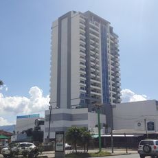
Cartago Canton is an administrative territory in Cartago Province that spans eleven districts including Oriental, Occidental, Carmen, San Nicolás, and Aguacaliente. The area sits at approximately 1575 meters elevation and forms a significant geographic and administrative region within the province.

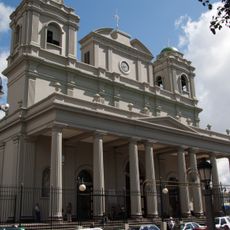
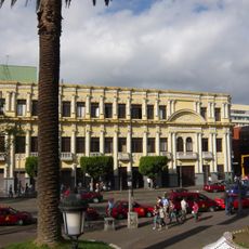
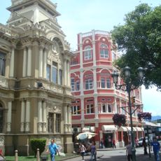
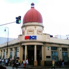
The canton was founded in 1563 by Juan Vasquez de Coronado and served as Costa Rica's capital until 1824. The relocation of the capital to San José marked a significant turning point in the region's political importance.

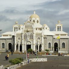
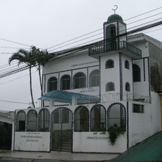
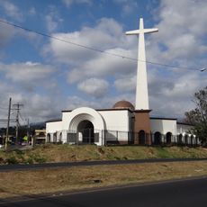
The Basílica de Nuestra Señora de los Ángeles draws thousands of pilgrims each year, particularly during the Virgin of the Angels celebration on August 2. This religious tradition shapes the cultural life of the area and remains central to local identity.

The Costa Rica Institute of Technology in Dulce Nombre district offers higher education and research facilities serving students from across the country. Visitors can explore the institution and discover its modern campus facilities and academic activities.

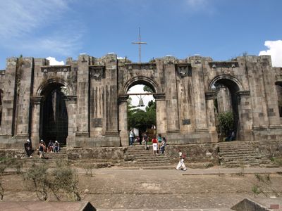
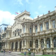
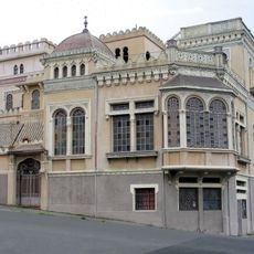
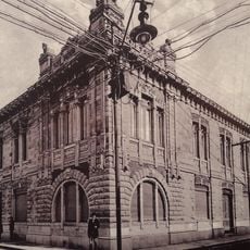
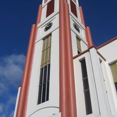
The ruins of Santiago Apóstol church in Plaza Mayor stand as remnants of the 1910 earthquake that reshaped the urban architecture. These remains serve as visible evidence of a major natural disaster that shaped the region's development.

The community of curious travelers

AroundUs brings together thousands of curated places, local tips, and hidden gems, enriched daily by 60,000 contributors worldwide.

Start exploring
Location
Capital city
Cartago
Elevation above the sea
1,575 m
Shares border with
Oreamuno Canton, Vázquez de Coronado Canton, Paraíso Canton, Dota Canton, El Guarco Canton, Desamparados Canton, La Unión Canton, Goicoechea Canton
GPS coordinates
9.85251,-83.92387
Latest update
December 7, 2025 20:47
« Cartago Canton - Administrative territory in Cartago Province, Costa Rica » is provided by Around Us (aroundus.com). Images and texts are derived from Wikimedia project under a Creative Commons license. You are allowed to copy, distribute, and modify copies of this page, under the conditions set by the license, as long as this note is clearly visible.

Discover hidden gems everywhere you go!

From secret cafés to breathtaking viewpoints, skip the crowded tourist spots and find places that match your style. Our app makes it easy with voice search, smart filtering, route optimization, and insider tips from travelers worldwide. Download now for the complete mobile experience.

Around Us App Screenshot

A unique approach to discovering new places

Le Figaro

All the places worth exploring

France Info

A tailor-made excursion in just a few clicks

20 Minutes

Around Us
Travel Guide & Maps
Download

Send to your phone

QR Code
1

Open the camera app on your mobile.

2

Point at the QR code with your camera. A notification will appear.

3

Tap the notification to open the link.