Iguala de la Independencia, municipality of Guerrero, Mexico
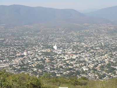
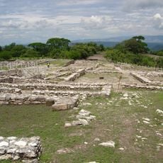
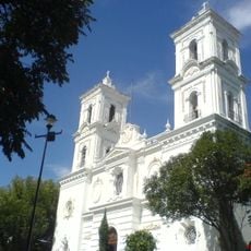
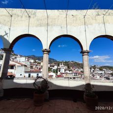
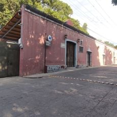
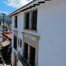
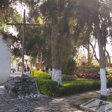
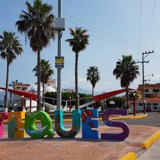
Iguala de la Independencia is a town in Guerrero with narrow cobblestone streets and colonial architecture set against green hills. A central plaza anchors the community where locals gather, with the Church of San Francisco de Asís nearby and traditional shops and markets lining the surrounding streets.
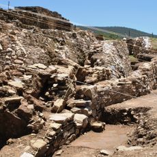
The town became central to a pivotal moment in Mexico's history when the Plan of Iguala was proclaimed in 1821, a document that led to the nation's independence. Later it developed as a transportation hub when the railroad was built through the region, improving connections with other areas.
The town's name comes from Nahuatl and means 'Where the night becomes calm'. Its central role in Mexico's independence movement remains deeply embedded in local identity, evident in the way residents maintain traditions and commemorate their city's place in the nation's founding story.
The best time to explore is early morning or late afternoon when streets are less crowded and temperatures are more comfortable. Wear good walking shoes since many paths are cobblestone and uneven, and bring water to stay hydrated.
A giant Mexican flag waves from a monumental pole atop a nearby hill, visible from great distances and serving as a powerful symbol of independence. This landmark draws many visitors who come for the panoramic views it offers over the entire town.
The community of curious travelers
AroundUs brings together thousands of curated places, local tips, and hidden gems, enriched daily by 60,000 contributors worldwide.