Ozumba, Administrative division in State of Mexico, Mexico
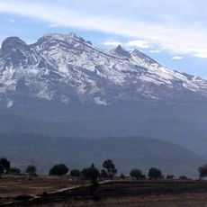
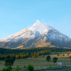
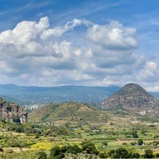
Ozumba is a municipality in the southeast portion of the Valley of Mexico that sits on hilly terrain and centers on agriculture and craft production. The area combines traditional village settlement patterns with road connections linking it to surrounding towns and Mexico City.
The settlement was founded in 1525 and gained municipal status in 1825 as the area became an established administrative district. This long timeline shows how it developed from an early Spanish outpost into a recognized local government center.
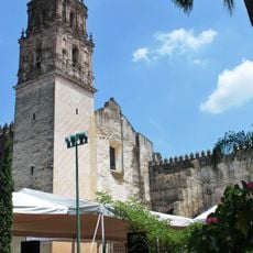
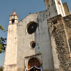
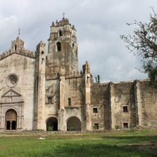
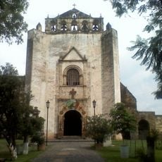
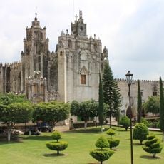
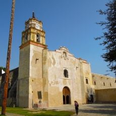
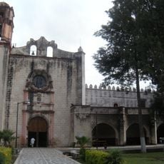
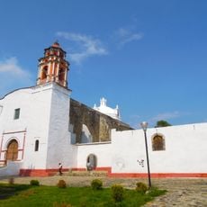
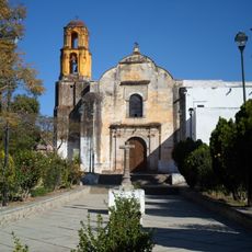
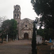
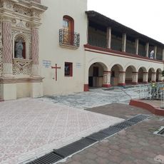
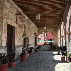
The Parish of the Immaculate Conception displays artwork showing how Franciscan missionaries arrived and converted the local indigenous population to Christianity. Walking through the town, you can see how this religious change shaped the community's identity and traditions.
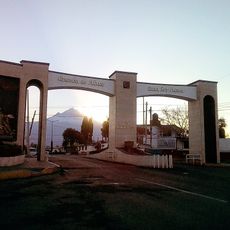
The municipality is accessible via the main highway connecting Mexico City to Cuautla, which provides direct links to surrounding regions. The terrain is hilly, so visitors should expect uneven roads and be prepared for seasonal rainfall.
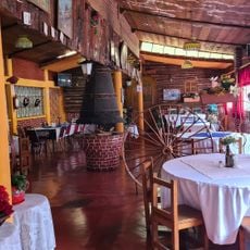
The area is known for generations of craft production including handmade saddles and fireworks created using traditional techniques passed down through families. Local farmers also grow walnuts, avocados, and medicinal plants in family orchards, showing how the economy is deeply tied to the land and climate.
The community of curious travelers
AroundUs brings together thousands of curated places, local tips, and hidden gems, enriched daily by 60,000 contributors worldwide.