Chest opened
+${chestReward.xp} XP
Explorer
NOUVEAU ×${chestReward.collectible.quantity}
tapez pour fermer
Chest locked

Open chests in the app

Around Us is built for your phone — chests unlock when you walk, explore and capture nearby places.

Enable Location

We need your location to show you interesting places around you

Discover nearby places

Find interesting locations and hidden gems around you

Precise directions

Get accurate directions and distances to places

Your location is never shared with other users. It's only used when you tap the location button.

Pátzcuaro

Log in to your account

Start exploring — it's free

Trusted by 72,990 travelers worldwide

Continue with Google
Continue with Apple
or

We will send you a code to connect

By continuing, you accept our Terms and Conditions and our Privacy Policy

Check your inbox

We've sent a pincode in your inbox. Please enter the code below.

Discussion Reviews 2 Photos
55.1k Popularity

Pátzcuaro, Colonial town in Michoacán, Mexico

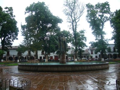
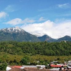
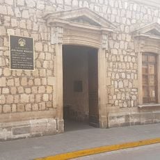
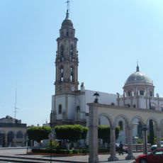
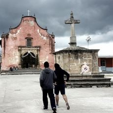
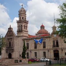
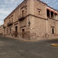
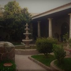
Pátzcuaro is a colonial town in the state of Michoacán, Mexico, located on the southwestern shore of Lake Pátzcuaro at an elevation of 2140 meters (7020 feet). The town preserves its historical architecture with whitewashed houses, red tile roofs, and cobblestone streets that wind around several central plazas surrounded by forested mountains.

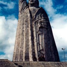
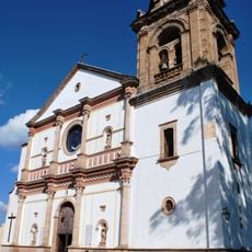
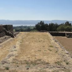
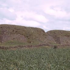
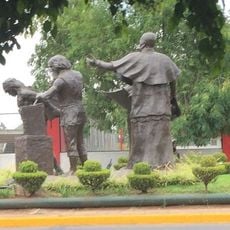
Founded in the 1320s as the capital of the Purépecha Empire, the town served as a political and religious center during its pre-Columbian period. Following the Spanish conquest, it became an important hub of colonial administration and mission work under Bishop Vasco de Quiroga starting in 1540.

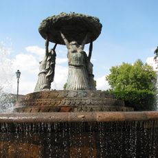
Plaza Vasco de Quiroga becomes a gathering point on market days, where artisans from surrounding villages bring their work in copper, wood, and clay. Visitors can watch the traditional techniques passed down through generations and still used in everyday life across the region.

Regular bus services run from Morelia, and the town has several small clinics for basic medical needs. The streets are steep and cobbled, so comfortable shoes with good grip are advisable, especially during rain.

On the lake, fishermen still use butterfly-shaped nets called mariposas, a technique that dates back to pre-Hispanic times. These nets are cast in the shallow waters and create a recognizable image that has become a symbol of the region.

The community of curious travelers

AroundUs brings together thousands of curated places, local tips, and hidden gems, enriched daily by 60,000 contributors worldwide.

Start exploring
Inception
1540
Elevation above the sea
2,140 m
GPS coordinates
19.51639,-101.60972
Latest update
December 14, 2025 17:25
Reviews
Share your experience

No review yet

Discussions
Start a discussion...

No discussion yet

« Pátzcuaro - Colonial town in Michoacán, Mexico » is provided by Around Us (aroundus.com). Images and texts are derived from Wikimedia project under a Creative Commons license. You are allowed to copy, distribute, and modify copies of this page, under the conditions set by the license, as long as this note is clearly visible.

Discover hidden gems everywhere you go!

From secret cafés to breathtaking viewpoints, skip the crowded tourist spots and find places that match your style. Our app makes it easy with voice search, smart filtering, route optimization, and insider tips from travelers worldwide. Download now for the complete mobile experience.

Around Us App Screenshot

A unique approach to discovering new places

Le Figaro

All the places worth exploring

France Info

A tailor-made excursion in just a few clicks

20 Minutes

Around Us
Travel Guide & Maps
Download

Send to your phone

QR Code
1

Open the camera app on your mobile.

2

Point at the QR code with your camera. A notification will appear.

3

Tap the notification to open the link.