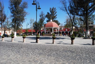
Teotihuacan, municipality in State of Mexico, Mexico
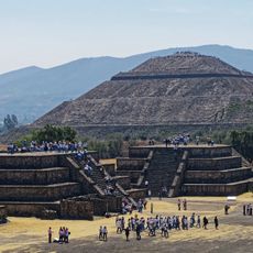
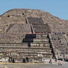
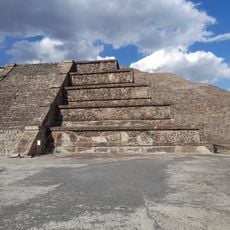
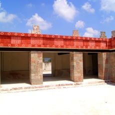
Teotihuacan is an ancient city in the State of Mexico, about 30 miles (48 kilometers) from Mexico City, featuring large pyramids and wide avenues. The two main pyramids, the Pyramid of the Sun and Pyramid of the Moon, dominate the site, while smaller temples and platforms form a carefully planned urban structure organized along north-south and east-west axes.
The city began around 2100 years ago, shortly before 100 BCE, and flourished until it was abandoned around 750-800 CE. At its peak around 500 CE, it housed diverse groups including Otomi, Zapotec, Mixtec, Maya, and Nahua peoples.
The name "Avenue of the Dead" came from the Aztecs, who mistakenly believed the pyramid structures were tombs. Today, walking along this wide street reveals how the city's residents organized their religious and public spaces around these central structures.
The site is open daily from morning until late afternoon, and arriving early helps avoid large crowds. Bring comfortable shoes, plenty of water, sunscreen, and a hat, as there is minimal shade and the sun can be intense during midday hours.
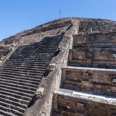
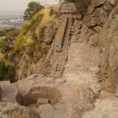
Although visitors can no longer climb the pyramids, the views from the top were once spectacular and drew religious pilgrims and trading caravans. The climbing restriction protects the structures, yet many guests find that exploring the site at ground level and imagining its former grandeur feels both humbling and moving.
The community of curious travelers
AroundUs brings together thousands of curated places, local tips, and hidden gems, enriched daily by 60,000 contributors worldwide.