Chilchotla Municipality, human settlement in Mexico
Location: Puebla
Capital city: Rafael J. García, Puebla
Elevation above the sea: 2,460 m
GPS coordinates: 19.25000,-97.18330
Latest update: April 11, 2025 10:46
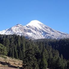
Citlaltepetl
26.1 km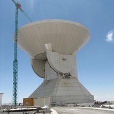
Large Millimeter Telescope
32.5 km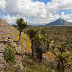
Cantona
46.3 km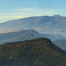
Cofre de Peru en tanga
27.4 km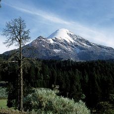
Pico de Orizaba National Park
34.4 km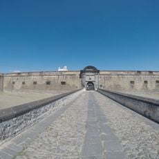
San Carlos Fortress
36.6 km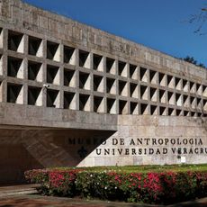
Museo de Antropología de Xalapa
42.7 km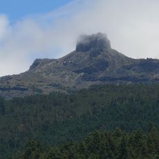
Parque Nacional Cofre de Perote
26.9 km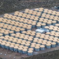
High Altitude Water Cherenkov Experiment
31.3 km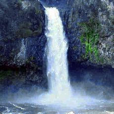
Cascada de Texolo
26.1 km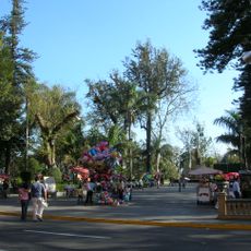
Parque Juárez
41.1 km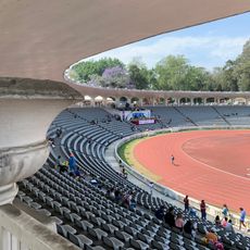
Estadio Xalapeño
40.9 km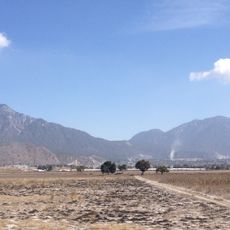
Las Derrumbadas
29.1 km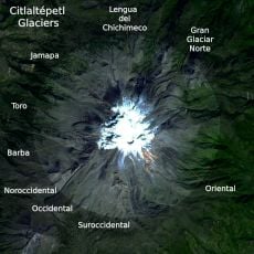
Gran Glaciar Norte
25.7 km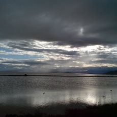
Laguna de Totolcingo
47 km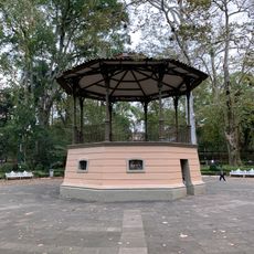
Parque Los Berros
41.4 km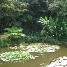
Jardín Botánico Francisco J. Clavijero
26.2 km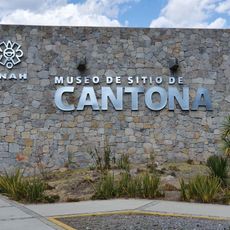
Zona Arqueológica de Cantona
46.9 km
Tlaqná
40.5 km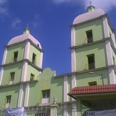
Saint John the Baptiste church in Orizaba
43.7 km
Park Doña Falla
42.8 km
Museo Bola de Oro Finca Roma
40 km
Barranca de Metlac
42.4 km
Museum of Orchids
32.8 km
Macuilacatl
34.2 km
Pinacoteca Diego Rivera
41.1 km
Las Cumbres
14.4 km
Serdán-Oriental
30.2 kmVisited this place? Tap the stars to rate it and share your experience / photos with the community! Try now! You can cancel it anytime.
Discover hidden gems everywhere you go!
From secret cafés to breathtaking viewpoints, skip the crowded tourist spots and find places that match your style. Our app makes it easy with voice search, smart filtering, route optimization, and insider tips from travelers worldwide. Download now for the complete mobile experience.

A unique approach to discovering new places❞
— Le Figaro
All the places worth exploring❞
— France Info
A tailor-made excursion in just a few clicks❞
— 20 Minutes