Zempoala

Log in to your account

AroundUs is a community-driven map of interesting places, built by curious explorers like you. It grows with every review, story, and photo you share.
Connect to save your favorite spots, contribute locations, and create personalized routes.
By continuing, you accept our Terms and Conditions and our Privacy Policy
Add to collection
Map
Suggest a change
Share

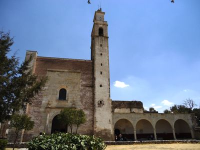
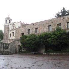
Zempoala, Municipality center in Hidalgo, Mexico.

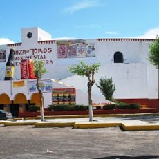
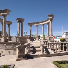
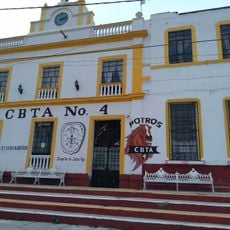
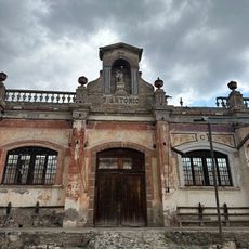
Zempoala is a locality situated in the mountainous terrain of central Mexico at roughly 2,460 meters elevation, surrounded by mixed forests and agricultural land. The town center serves as a hub where roads from surrounding villages converge and local commerce takes place.

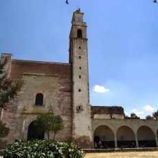
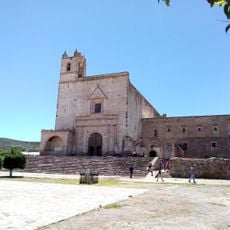
The area was originally inhabited by Toltec peoples before Chichimec groups led by King Xolotl established their rule around 1120. This arrival marked a turning point in how the settlement developed and organized itself.

The name Zempoala originates from Nahuatl words Cempoalli and tlan, reflecting the traditional market system that operated on a twenty-day cycle.

The locality has good coverage of electricity and drainage systems reaching most households. Visitors should prepare for cool mountain temperatures, particularly in early mornings and evenings.

The region experiences temperature variations from 2 degrees Celsius in January to 26 degrees Celsius in May, influencing local agricultural patterns.

Location: Zempoala

Elevation above the sea: 2,461 m

GPS coordinates: 19.91556,-98.67000

Latest update: December 6, 2025 16:04

Natural and historical sites in Hidalgo Mexico

Hidalgo state sits northeast of Mexico City, connecting volcanic landscapes with more than two thousand years of human settlement. The region extends from high-altitude pine forests to semi-arid canyons, with geological processes having created basalt columns, cave systems with thermal springs, and marble formations. Colonial monasteries from the 16th century stand alongside mining towns that emerged during the Spanish era, while the archaeological site of Tula served as the capital of the Toltec civilization that preceded the Aztec empire. Visitors can walk among the hexagonal basalt columns at Prismas Basálticos, bathe in the warm pools of Grutas de Tolantongo, or view the stone warrior statues at Atlantes de Tula. Mining towns such as Real del Monte preserve their narrow streets and historic mines, while the Aqueduct of Padre Tembleque, a 16th-century UNESCO World Heritage structure, carried water across distances through a series of tall arches. National parks like El Chico protect mountain forests, the Metztitlán Canyon Reserve hosts desert ecosystems, and Atezca Lake offers views of calm water surrounded by forested hills. The combination of natural variety and centuries of history makes Hidalgo a place where each visit reveals both geology and human adaptation to this demanding environment.

Reviews

Visited this place? Tap the stars to rate it and share your experience / photos with the community! Try now! You can cancel it anytime.

« Zempoala - Municipality center in Hidalgo, Mexico » is provided by Around Us (aroundus.com). Images and texts are derived from Wikimedia project under a Creative Commons license. You are allowed to copy, distribute, and modify copies of this page, under the conditions set by the license, as long as this note is clearly visible.

Discover hidden gems everywhere you go!

From secret cafés to breathtaking viewpoints, skip the crowded tourist spots and find places that match your style. Our app makes it easy with voice search, smart filtering, route optimization, and insider tips from travelers worldwide. Download now for the complete mobile experience.

Around Us App Screenshot

A unique approach to discovering new places

Le Figaro

All the places worth exploring

France Info

A tailor-made excursion in just a few clicks

20 Minutes