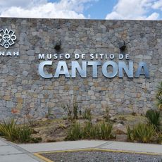
Xalapa Municipality, Administrative division in Xalapa, Mexico
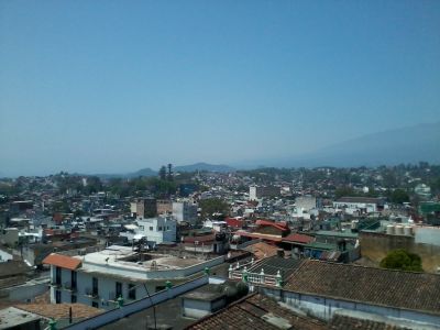
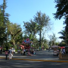
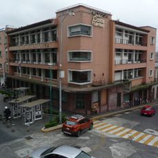
Xalapa Municipality spans several urban districts and rural areas surrounding the state capital of Veracruz. The region connects different communities that together form an administrative unit and accommodate people from various walks of life.
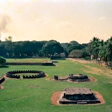
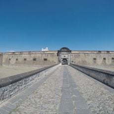
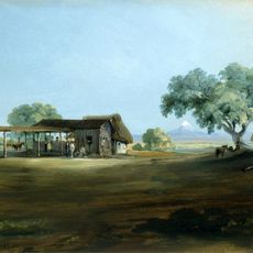
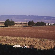
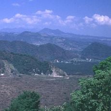
The territory developed from several Totonac settlements near the Macuiltepetl mountain that were later merged under Spanish rule. This consolidation created the administrative structure that exists today.
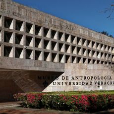
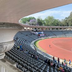
The area is home to the Universidad Veracruzana, a major educational institution that shapes daily life here and fosters artistic activity throughout the region. This university draws students from many places and creates an academic focus that you can feel throughout the city.
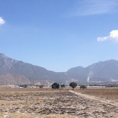
The region is connected to Mexico City and Veracruz through Highway 140-D, making it easy to reach. Local public transportation operates throughout the area, though it is helpful to explore available connections before traveling.
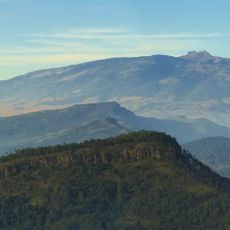
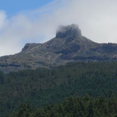
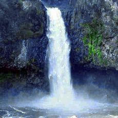
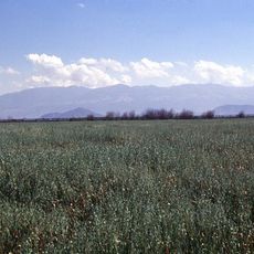
The Macuiltepetl hillside lies within the municipal territory and was an important landmark for the original Totonac populations. Visitors often overlook this geographical reference, though it explains why settlements originally concentrated here.
The community of curious travelers
AroundUs brings together thousands of curated places, local tips, and hidden gems, enriched daily by 60,000 contributors worldwide.