Enable Location

We need your location to show you interesting places around you

Discover nearby places

Find interesting locations and hidden gems around you

Precise directions

Get accurate directions and distances to places

Your location is never shared with other users. It's only used when you tap the location button.

Aguascalientes

Log in to your account

Start exploring — it's free

Trusted by 62,850 travelers worldwide

Continue with Google
Continue with Apple
or

We will send you a code to connect

By continuing, you accept our Terms and Conditions and our Privacy Policy

Check your inbox

We've sent a pincode in your inbox. Please enter the code below.

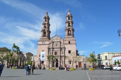
Aguascalientes, State in central Bajío region, Mexico.

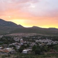
Aguascalientes is a landlocked region in the central Bajío highlands of Mexico, covering semi-arid terrain with scattered thermal springs. The territory shares its northern and eastern borders with Zacatecas and its southern and western edges with Jalisco, featuring gentle hills and wide open stretches with scattered settlements.

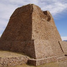
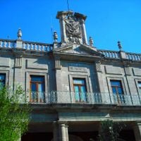
Spanish settlers established a supply post here in the 1570s along the route between silver mining regions and the capital. The territory broke away from Zacatecas in 1835 and became an independent administrative unit within the Mexican republic.

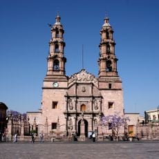
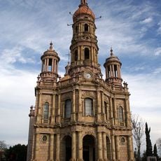
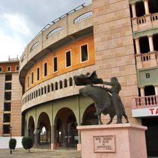
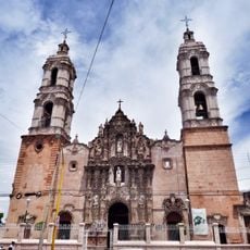
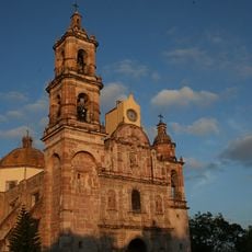
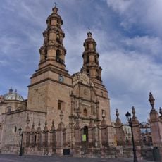
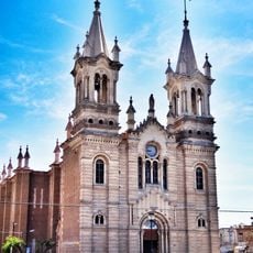
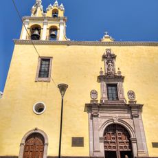
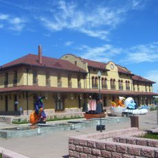
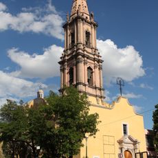
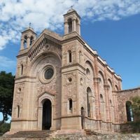
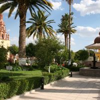
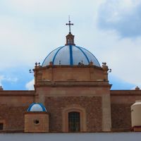
The region takes its name from the numerous natural hot springs that locals have relied on for centuries. Visitors can observe rural areas dedicated to cattle ranching alongside growing industrial zones, while religious traditions mix with regional celebrations that bring communities together throughout the year.

Travelers can reach the area using major highways that connect the territory to neighboring regions, with summer temperatures often climbing very high. Winter months offer milder weather for exploring rural areas and smaller towns scattered throughout the region.

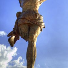
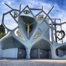
A large statue of Christ stands on an island within a reservoir, drawing pilgrims who must travel by boat across the water to reach it. The sculpture was built during the 1950s and offers visitors a wide view over the surrounding reservoir.

The community of curious travelers

AroundUs brings together thousands of curated places, local tips, and hidden gems, enriched daily by 60,000 contributors worldwide.

Start exploring
Location
Inception
1835
Capital city
Aguascalientes City
Elevation above the sea
1,926 m
Reference
AGU
Part of
Bajío
Shares border with
Zacatecas, Jalisco
GPS coordinates
22.05000,-102.30000
Latest update
December 14, 2025 22:56
« Aguascalientes - State in central Bajío region, Mexico » is provided by Around Us (aroundus.com). Images and texts are derived from Wikimedia project under a Creative Commons license. You are allowed to copy, distribute, and modify copies of this page, under the conditions set by the license, as long as this note is clearly visible.

Discover hidden gems everywhere you go!

From secret cafés to breathtaking viewpoints, skip the crowded tourist spots and find places that match your style. Our app makes it easy with voice search, smart filtering, route optimization, and insider tips from travelers worldwide. Download now for the complete mobile experience.

Around Us App Screenshot

A unique approach to discovering new places

Le Figaro

All the places worth exploring

France Info

A tailor-made excursion in just a few clicks

20 Minutes

Around Us
Travel Guide & Maps
Download

Send to your phone

QR Code
1

Open the camera app on your mobile.

2

Point at the QR code with your camera. A notification will appear.

3

Tap the notification to open the link.